
What is recorded here
A road visible as a crop mark on an aerial photograph. (SMR file; pers. comm. T. Condit). Enclosure DU015-057 is located to the west. Located on a relatively high land with a slope to the south. Visible on the 1st Edition Ordnance Survey map (1837) as a tree lined road leading to St Doolagh's Quarries and lime kilns. Coincides with the townland boundary for part of its extent. No visible remains.
Compiled by: David O’Connor
Updated by: Christine Baker
Date of upload: 25 January 2015
The monument record does not grant public access. Check the route and ask the landowner before entering private land.
- What survives
- Recorded monument
Places near here
 Enclosure in SpringhillEnclosure · 46 yd
 Ring-ditch in SpringhillRing-ditch · 122 yd
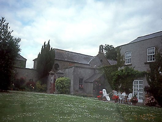 Springhillhouse · 404 yd
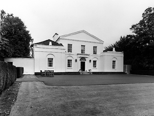 Emsworthcountry house · 645 yd
 St Catherine's WellSpring · 935 yd
 CastleCastle, unclassified · 1.0 mi
 Ayrfied UnitedHeritage attraction · 1.6 mi
 Stardust MemorialMemorial · 1.7 mi
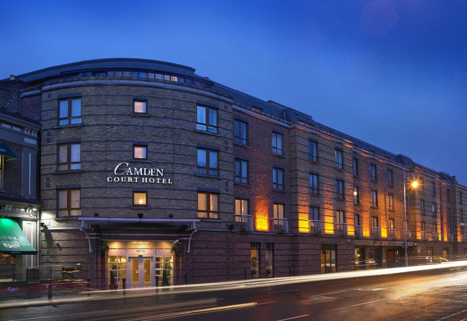 Kinsealy CourtMemorial · 1.9 mi
 Corballis Castle (site of)Castle, unclassified · 2.0 mi
 Airways Industrial EstateVisitor information · 2.1 mi
 Malahide DemesneVisitor information · 2.1 mi
Other information
Photo: Credit not shown in the picture search · Rights wording not checked; contact us if this picture should be removed