What is recorded here
Located on slight east west rise within massive open field-field boundaries long since removed. Extensive views to the high land of the north and sourth to the Dublin Mountains. Just to the east is an ancient road (DU015-125----). Visible as cropmark on Bing aerial (viewed 28/01/2015). A geophysical survey (Licence no. 08R0326) of the site was undertaken in advance of a proposed road realignment. A fragmented curvilinear response 38m in diameter thought to represent a sub-circular ditched enclosure was identified. Within interior are several pit type responses as well as pits, postholes, ditches and gullies. Probable entrance to the south into what appears to be an annex. Within this area there is thought to be burning or burnt material. An outer ditch was also identified and although responses were faint it would appear to measure 57mEW x 69mNS (Harrison 2008).
Located on slight east west rise within massive open field-field boundaries long since removed. Extensive views to the high land of the north and sourth to the Dublin Mountains. Just to the east is an ancient road (DU015-125----). Visible as cropmark on Bing aerial (viewed 28/01/2015). A geophysical survey (Licence no. 08R0326) of the site was undertaken in advance of a proposed road realignment. A fragmented…
From the National Monuments Service (Archaeological Survey of Ireland) record DU015-057
The monument record does not grant public access. Check the route and ask the landowner before entering private land.
- What survives
- Recorded monument
Places near here
Photo credits
- National Inventory of Architectural Heritage
- Jonjobaker, Wikimedia Commons · CC BY-SA 4.0
- David Dixon, Geograph · CC BY-SA 2.0
- William Murphy from Dublin, Ireland, Wikimedia Commons · CC BY-SA 2.0
- DiKey, Wikimedia Commons · CC BY-SA 4.0
- Darrin Antrobus, Geograph · CC BY-SA 2.0
Ring-ditch in SpringhillRing-ditch · 162 ydField system in SpringhillField system · 171 yd SpringhillHouse · 394 ydLime HillHouse · 671 ydSt Catherine's WellSpring · 971 ydAyrfied UnitedHeritage attraction · 1.6 miStardust MemorialMemorial · 1.7 miAirways Industrial EstateVisitor information · 2.0 miMalahide CastleCastle, tower house · 2.1 miMalahide CastleHeritage attraction · 2.1 miMalahide Castle Demesne Church (Ruin)Ruins · 2.1 miAirside Retail ParkVisitor information · 2.4 mi
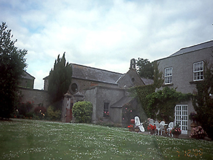 SpringhillHouse · 394 yd
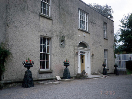 Lime HillHouse · 671 yd
_-_20190511182101.jpg/250px-County_Dublin_-_St_Catherine's_Well_(Malahide)_-_20190511182101.jpg "Photo: Jonjobaker, Wikimedia Commons · CC BY-SA 4.0") St Catherine's WellSpring · 971 ydAyrfied UnitedHeritage attraction · 1.6 miStardust MemorialMemorial · 1.7 mi
St Catherine's WellSpring · 971 ydAyrfied UnitedHeritage attraction · 1.6 miStardust MemorialMemorial · 1.7 mi Airways Industrial EstateVisitor information · 2.0 mi
 Malahide CastleCastle, tower house · 2.1 mi
 Malahide CastleHeritage attraction · 2.1 mi
 Malahide Castle Demesne Church (Ruin)Ruins · 2.1 mi
 Airside Retail ParkVisitor information · 2.4 mi
More archaeology and monuments in County Dublin · All of County Dublin
What do you know about this place?