What is recorded here
Discovered prior to road construction (Excavation Licence No. 00E0430). Located immediately to E of a ring-ditch (LH024-062----) and just N of a cemetery (LH024-054----) and cremation pyre (LH024-055----). Consisted of an annular ditch (average Wth 2m; D 1.65m) with parallel sides and rounded ends, measuring 19.26m E-W x 11.91m N-S (externally). A number of re-cuts were noted and a large number of finds recovered including burnt bone (human and animal), Bronze Age pottery, struck flint and a decorated glass bead. A shallow linear feature cut into the SE of the ditch and ran diagonally across the interior of the site terminating in a pit just a short distance from the enclosing ditch at the NW. Sixteen postholes were cut into the base of this linear feature, two of which displayed evidence of in-situ burning. (Chapple 2003, 266-7)
Compiled by: Claire Breen
Date of upload: 03 July 2013
Discovered prior to road construction (Excavation Licence No. 00E0430). Located immediately to E of a ring-ditch (LH024-062----) and just N of a cemetery (LH024-054----) and cremation pyre (LH024-055----). Consisted of an annular ditch (average Wth 2m; D 1.65m) with parallel sides and rounded ends, measuring 19.26m E-W x 11.91m N-S (externally). A number of re-cuts were noted and a large number of finds recovered…
From the National Monuments Service (Archaeological Survey of Ireland) record LH024-063
The monument record does not grant public access. Check the route and ask the landowner before entering private land.
- What survives
- Recorded monument
Places near here
Photo credits
- National Inventory of Architectural Heritage
- Kieran Campbell, Geograph · CC BY-SA 2.0
- Colin Park, Geograph · CC BY-SA 2.0
- Jan van Huchtenburgh, Wikimedia Commons · Public domain
- Sitomon, Wikimedia Commons · CC BY-SA 2.0
- Cianwal, Wikimedia Commons · CC BY-SA 4.0
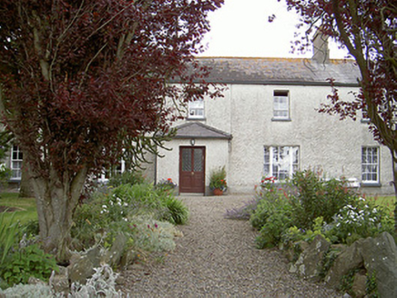 Drybridge HouseHouse · 455 yd
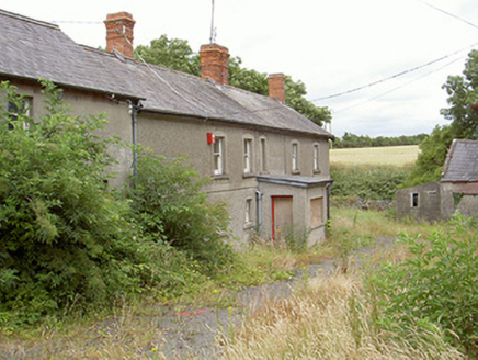 farm house672 yd
 Man-made underground passage in MellMan-made underground passage · 693 ydEnclosure in TullyallenEnclosure · 927 ydYellow IslandIslet · 1028 ydGrove IslandIslet · 1149 yd
 Battle of the Boyne Visitor CentreMuseum · 1.1 mi
_tussen_Jacobus_II_en_Willem_III,_12_juli_1690_Rijksmuseum_SK-A-605.jpeg/250px-De_slag_aan_de_Boyne_(Ierland)_tussen_Jacobus_II_en_Willem_III,_12_juli_1690_Rijksmuseum_SK-A-605.jpeg "Photo: Jan van Huchtenburgh, Wikimedia Commons · Public domain") Battle of the BoyneMajor battlefield · 1.1 mi
Battle of the BoyneMajor battlefield · 1.1 mi European Yew1.2 miEuropean Yew1.2 mi
 Magdalene TowerCastle · 2.0 mi
 Millmount MuseumMuseum · 2.2 mi
More archaeology and monuments in County Louth · All of County Louth
What do you know about this place?