
What is recorded here
The following description is derived from both the published 'Archaeological Inventory of County Louth' (Dublin: Stationery Office, 1986) and the 'Archaeological Survey of County Louth' (Dublin: Stationery Office, 1991). In certain instances the entries have been revised and updated in the light of recent research.
Date of upload/revision: 17 July 2007
Located on side of slope on N side of River Boyne. Trial trenching in 1985 in advance of building revealed an enclosure (max. diam. c. 60m E-W) defined by a ditch (Wth 2.5m, D 1.4m). This enclosure is associated with the Man-made underground passage(s) (LH024-012001- and LH024-012002-) and cemetery (LH024-012003-) discovered in 1983.
The monument record does not grant public access. Check the route and ask the landowner before entering private land.
- What survives
- Recorded monument
Places near here
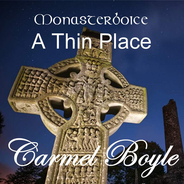 Toberboice WellHoly well · 106 yd
 St. Patricks StoneRitual site, holy/saint's stone · 990 yd
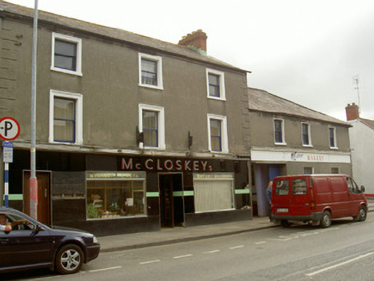 McCloskey'shouse · 1028 yd
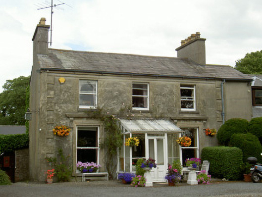 Boyne Viewhouse · 1154 yd
 St. Peter's ChurchMemorial · 1636 yd
 Magdalene TowerCastle · 1671 yd
 Newgrange Business ParkMemorial · 1709 yd
 Siege of Droghedasiege · 1.0 mi
 Yellow IslandIslet · 1.1 mi
 Millmount MuseumMuseum · 1.1 mi
 Grove IslandIslet · 1.4 mi
 Platin HouseCastle, unclassified · 2.2 mi
Other information
Photo: Credit not shown in the picture search · Rights wording not checked; contact us if this picture should be removed