
What is recorded here
In improved pasture, just above a high E-facing contour, overlooking the Suir Valley to NE. Land slopes down steeply to E and steadily to SE and affords good views NNE-SW. Oval area (dims. 25m NNW-SSE; 21m ENE-WSW) defined by low earthen bank (overall Wth 5.95m; Wth at top 1m; int. H 0.35m; ext. H 1m) which is best preserved NW-SE. Entrance (overall Wth 5m; basal Wth 2m) at ENE. Remains of fosse (overall Wth 5.95m; basal Wth 1.8m; D 0.08-0.18m) are low in profile. Interior slopes down gently to SE. Conjoined barrows (TS061-031001-; TS061-031002-) off-centre to ENE and barrow (TS061-031003-) abuts bank at ENE.
Compiled by: Jean Farrelly
Date of upload: 26 August 2011
The monument record does not grant public access. Check the route and ask the landowner before entering private land.
- What survives
- Recorded monument
Places near here
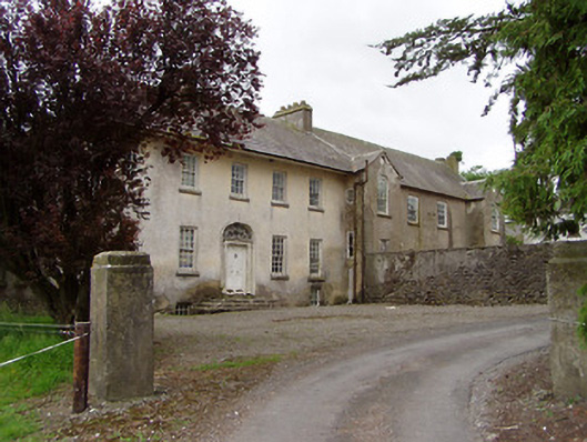 Meldrum Housecountry house · 289 yd
 Meldrum Castle (ruins)Castle · 725 yd
 IndicatedEnclosure · 761 yd
 Brickendown Church (in ruins)Church · 846 yd
 Brickendown WellHoly well · 1001 yd
 CastleCastle, ringwork and bailey · 1.1 mi
 Ballyknock HillMountain / peak · 1.5 mi
 Cashel Folk MusuemMuseum · 2.3 mi
 The Rock Of CashelVisitor information · 2.3 mi
 Black mulberryBlack mulberry · 2.3 mi
 Cormac's ChapelHeritage attraction · 2.4 mi
 Gobban Saer's GraveArchaeological place · 6.6 mi
Other information
Photo: Credit not shown in the picture search · Rights wording not checked; contact us if this picture should be removed