
What is recorded here
In improved pasture, on a NNE-facing slope. Remains of oval area (dims. 32m NW-SE; 29m NE-SW) defined by levelled scarp (Wth 1.9m; H 0.15m) S-W-ENE and the remains of a fosse (basal Wth 2.5m; overall Wth 4.9m; D 0.2m) truncated by a curvilinear field boundary and drain ENE-E-S. The remains of a levelled linear field boundary (Wth 2.5m) and a backfilled ditch running NE-SW are abutting to the NW. The interior slopes to the NNE. The enclosure is described by Cahill (1982) as being levelled.
Compiled by: Jean Farrelly
Date of upload: 26 August 2011
The monument record does not grant public access. Check the route and ask the landowner before entering private land.
- What survives
- Recorded monument
Places near here
 Hut site in Curraheen (peppardstown Par.)Hut site · 515 yd
 Enclosure in Curraheen (peppardstown Par.)Enclosure · 658 yd
 CastleCastle, ringwork and bailey · 1121 yd
 ‘Magowry Church (in ruins)’Church · 1484 yd
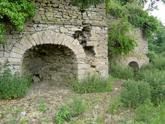 kilnkiln · 1.1 mi
 Saint Johnstown CastleCastle · 1.6 mi
 Eagle HillMountain / peak · 1.8 mi
 Knockuragh HillMountain / peak · 2.3 mi
 Fenane WoodForest · 4.4 mi
 Silver FirSilver Fir · 4.5 mi
 East GateMemorial · 4.7 mi
 Gobban Saer's GraveArchaeological place · 7.1 mi
Other information
Photo: Credit not shown in the picture search · Rights wording not checked; contact us if this picture should be removed