What is recorded here
Located towards the bottom of a SW-facing slope, it was known locally as ‘Craobh’. This is an oval grass and scrub-covered area (dims 46m WNW-ESE; 32m NNE-SSW) defined by earthen bank that is reduced to a low scarp SE-SSW. There is no visible fosse or identifiable original entrance. It is within a rectilinear enclosure (dims 58m N-S; 54m E-W) defined by low scarp, which might have been created by ploughing. The rath is at the centre of a relict field system (ME027-032001-) that is only visible as the cropmarks of drains on Apple Maps, which utilises a survey conducted by Bluesky International during June 2018. The field system was first reported by Noel Meehan.
The above description is derived from the published 'Archaeological Inventory of County Meath' (Dublin: Stationery Office, 1987). In certain instances the entries have been revised and updated in the light of recent research.
Compiled by: Michael Moore
Date of revision: 10 July 2007
Amended: 31 January 2020
A local fairy fort (ringfort/rath); wider significance not recorded.
The monument record does not grant public access. Check the route and ask the landowner before entering private land.
- What survives
- Recorded monument
Places near here
 CrossCross, Wayside cross · 487 yd
 Andrews Corn MillRuins · 1196 yd
 IndicatedEnclosure · 1504 yd
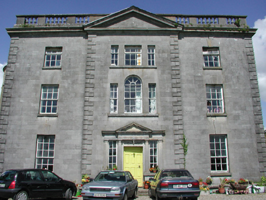 Duleek Housecountry house · 1.3 mi
 Athcarne CastleCastle, tower house · 1.4 mi
 Common LimeCommon Lime · 1.5 mi
 CastleCastle, motte · 1.6 mi
 PuddenhillHeritage attraction · 3.2 mi
 European BeechEuropean Beech · 3.9 mi
 FourknocksPassage tomb · 4.0 mi
 Brú na Bóinne Visitors CentreVisitor information · 4.4 mi
 The story of the milk standMemorial · 4.4 mi
Other information
Photo: Credit not shown in the picture search · Rights wording not checked; contact us if this picture should be removed