What is recorded here
Located towards the bottom of a SW-facing slope, on a slight ENE-WSW spur. The cropmarks of drains associated with a relict field system centred on rath (ME02-032----) is visible only on Apple Maps, which utilises a survey conducted by Bluesky International during June 2018. The fields cover a visible area of about 2 hectares (c. 5 acres) but is probably more extensive. It consists of small subcircular or subrectangjular enclosures (dims c. 40m x c.30m) defined by wide drains (Wth c. 1-2m) and the enclosures seem to depend from the perimeter of the rath. An enclosure (ME027-032002-) just NE of the rath was probably another rath. The complex was first reported by Noel Meehan.
See the attached enhanced view from Apple Maps
Compiled by: Michael Moore
Date of upload: 31 January 2020
The monument record does not grant public access. Check the route and ask the landowner before entering private land.
- What survives
- Recorded monument
Places near here
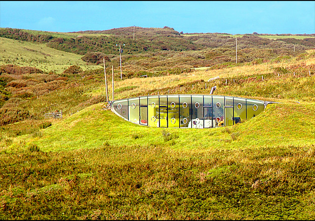 Enclosure in LunderstownEnclosure · 26 yd
 CrossCross, Wayside cross · 477 yd
 Andrews Corn MillRuins · 1183 yd
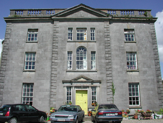 Duleek Housecountry house · 1.3 mi
 Athcarne CastleCastle, tower house · 1.4 mi
 Common LimeCommon Lime · 1.5 mi
 CastleCastle, motte · 1.6 mi
 PuddenhillHeritage attraction · 3.1 mi
 European BeechEuropean Beech · 3.9 mi
 FourknocksPassage tomb · 4.0 mi
 Brú na Bóinne Visitors CentreVisitor information · 4.4 mi
 The story of the milk standMemorial · 4.4 mi