What is recorded here
From the National Monuments Service (Archaeological Survey of Ireland) record LA016-005
Places near here
Photo credits
- Maker not stated on source page, www.pinterest.com
- National Inventory of Architectural Heritage
- Maker not stated on source page, in.pinterest.com
- Kmcnamee, Wikimedia Commons · CC BY-SA 4.0
- Maker not stated on source page, www.dreamstime.com
- Maker not stated on source page, www.flickr.com
- Maker not stated on source page, ru.pinterest.com
- Maker not stated on source page, www.ancient-origins.net
- Maker not stated on source page, commons.wikimedia.org
 Fairy fort / earthen ringfort in LongfordFairy fort / earthen ringfort · 670 yd
Explorer Tom Fairy fort / earthen ringfort in Longford has a fairy dispute over parking rights right now. The banks are solid but…
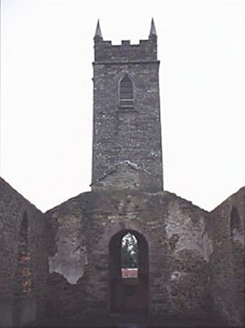 Saint Kevin's Catholic ChurchChurch/chapel · 1400 yd
Explorer Tom Saint Kevin's Catholic Church in Camross is a ruined T-shaped beauty that looks like it got hit by a very confused…
 Saint Fergal's CemeteryCemetery · 1412 yd
Explorer Tom Saint Fergal's Cemetery was built by a guy who was probably thinking about lunch while laying the stones. You can tell…
 Graveyard in Killeen (upperwoods By.)Graveyard · 1529 yd
Explorer Tom If this graveyard in Killeen went to a party, it would bring wet socks and the ghosts of unbaptised children. It’s on…
 Camross GAA pitchGAA ground · 1.3 mi
 Enclosure in CardtownEnclosure · 1.5 mi
Explorer Tom Enclosure in Cardtown hosted a dance that went so far the floor actually cracked. It’s a fifty-metre subcircular shape…
 Bridge in RossadownBridge · 1.6 mi
Explorer Tom Bridge in Rossadown, County Laois is hiding a tunnel straight to the nearest pub, if you believe the locals. It’s been…
 Holy well in DerrynaseeraHoly well · 1.6 mi
Explorer Tom Holy well in Derrynaseera was stopped up because a dance party there went completely too far. St. Kevin’s Well is gone…
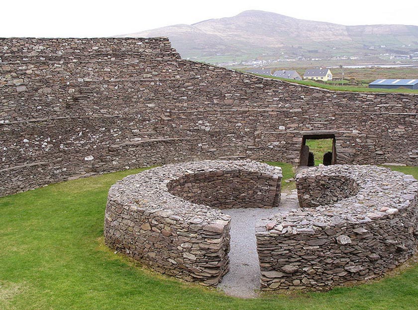 Fairy fort / earthen ringfort in BallyhorahanFairy fort / earthen ringfort · 1.7 mi
Explorer Tom Fairy fort / earthen ringfort in Ballyhorahan refuses to fall down because it knows it’s got character. The bank is…
 Church in Cappanarrow,monelly,mounthallChurch · 1.8 mi
Explorer Tom Church in Cappanarrow gave up meat for Lent but kept its wooden structure intact. It was probably a shack, but we are…
 Graveyard in Cappanarrow,monelly,mounthallGraveyard · 1.8 mi
Explorer Tom Graveyard in Cappanarrow, Monelly, Mounthall, County Laois hates visitors who bring sandwiches because crumbs get…
 CastleCastle, unclassified · 1.8 mi
Explorer Tom Castle in Clonin would bring nothing to a party because it doesn't exist anymore. It was tall, strong, and then someone…
More archaeology and monuments in County Laois · All of County Laois

What do you know about this place?Tap to add a comment or ask a question