What is recorded here
Absent from the 1841 map, the Ballyhorahan ringfort hides in plain sight. Its thirty-four metre circle forces a person to slow down, notice the bank and wonder who lived inside. The missing entrance and unrecorded boundary suggest human life continued beyond the reach of official measurement.
Not marked on the 1841 edition of the OS 6-inch map. A circular area (diam. c. 34.7m) defined by an earthen bank (Wth c. 3.2m; int. H c. 0.4m, ext. H c. 1.5m) and a fosse (Wth c. 4.3m). Possible original entrance at E.
The above description is derived from the published 'Archaeological Inventory of County Laois' (Dublin Stationery Office, 1995) compiled by P. David Sweetman, Olive Alcock and Bernie Moran. In certain instances the entries have been revised and updated in the light of recent research.
Date of upload: 17 December 2007
The monument record does not grant public access. Check the route and ask the landowner before entering private land.
- What survives
- Recorded monument
Places near here
 IndicatedEnclosure · 349 yd
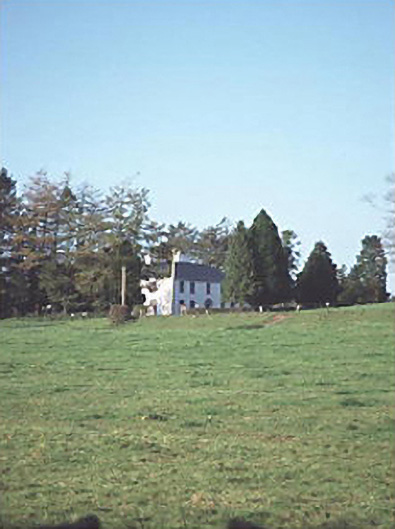 Larch Hill Househouse · 1437 yd
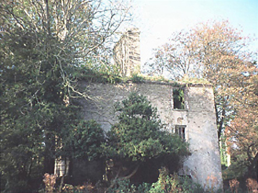 Goss Brookhouse · 1.0 mi
 MoatFairy fort / earthen ringfort · 1.1 mi
 Sweet ChestnutSweet Chestnut · 2.5 mi
 Site of CastleCastle, unclassified · 2.8 mi
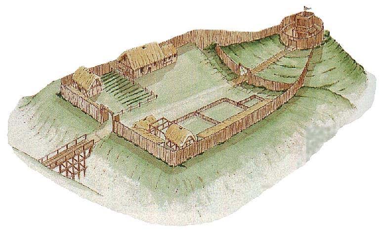 CastleCastle, motte and bailey · 4.1 mi
 ArderinMountain / peak · 5.3 mi
 Sitka SpruceSitka Spruce · 5.4 mi
 FarbreagueMountain / peak · 6.6 mi
 Slieve Bloom MountainsMountain range · 6.8 mi
 Welcom to GlenreganVisitor information · 7.4 mi