What is recorded here
Infra-red aerial photography revealed a D-shaped enclosure measuring 26m by 45m on rising ground above the River Lee estuary, yet no trace remains at ground level. The straight northern edge and curved southern arc suggest a deliberate boundary marking domestic or ritual life along the Tralee Bay coastline. Whatever hands built that curve forgot to make it permanent, leaving only a faint shadow visible through satellite eyes. The enclosure endures as absence, a shape the land remembers but no longer shows.
'Infra-red aerial photography (National Coastline Survey) chows the faint crop mark of a D-shaped enclosure at this location. Situated on gently rising ground overlooking the estuary of the River Lee to the south. Tralee Bay to the west and Annagh Island to the south-west. The straight side of the enclosure is to the north and the site measures approximately 26m N-S and 45m E-W. There is no trace of this site at ground level.'
Description from ‘The Prehistoric Settlement of the Lee Valley, Tralee, Co. Kerry; A Landscape Perspective’ by Michael Connolly. PhD Thesis UCC 2008
Date of upload: 09 July 2012
This remains an important historical record, but the official description says the monument is no longer visible or has been destroyed. The monument record does not grant public access. Check the route and ask the landowner before entering private land.
- What survives
- No visible remains or recorded as destroyed
Places near here
 View of WindmillHeritage attraction · 638 yd
 Blennerville WindmillHeritage attraction · 671 yd
 mill (wind)mill (wind) · 673 yd
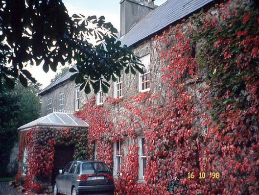 Blennerville Househouse · 778 yd
 Partially indicatedEnclosure · 1266 yd
 Man-made underground passage in Kerries WestMan-made underground passage · 1728 yd
 Tralee Bay Wetlands Eco and Activity ParkNature reserve · 1.1 mi
 Sonny McCarthy MemorialMonument · 1.5 mi
 Castle MacallistrumCastle, unclassified · 1.5 mi
 Pádraig Mac PiaraisMemorial · 1.5 mi
 CastleCastle, unclassified · 1.6 mi
 Sunday's WellSpring · 2.5 mi