What is recorded here
Situated at the crest of a steep E-facing slope overlooking the N-S Bunmahon River, c. 500m to the E. This is a subcircular area (diam. c. 35m) visible as a cropmark on aerial photographs (MM (30a) 9-12).
The above description is derived from the published 'Archaeological Inventory of County Waterford' (Dublin: Stationery Office, 1999). In certain instances the entries have been revised and updated in the light of recent research.
Compiled by: Michael Moore.
Date of upload/revision: 12th May, 2011.
The monument record does not grant public access. Check the route and ask the landowner before entering private land.
- What survives
- Recorded monument
Places near here
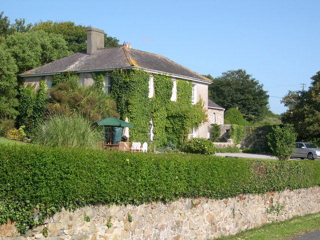 Glebe Houserectory/glebe/vicarage/curate's house · 877 yd
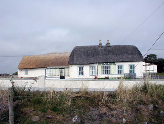 Roseville Househouse · 1040 yd
 Bunmahon Miners' CottagesVisitor information · 1364 yd
 Burnt mound in BallynahilaBurnt mound · 1436 yd
 Copper CoastCoastal geological landscape · 1461 yd
 Settlement desertedSettlement deserted, medieval · 1465 yd
 Bunmahon StrandBeach / strand · 1642 yd
 Miners BucketVisitor information · 1650 yd
 Tra na mBoBeach / strand · 1696 yd
 Ballydowane CoveBeach / strand · 1.4 mi
 Mandevilles RockCastle, unclassified · 1.4 mi
 St. Bernard's WellSpring · 2.5 mi