What is recorded here
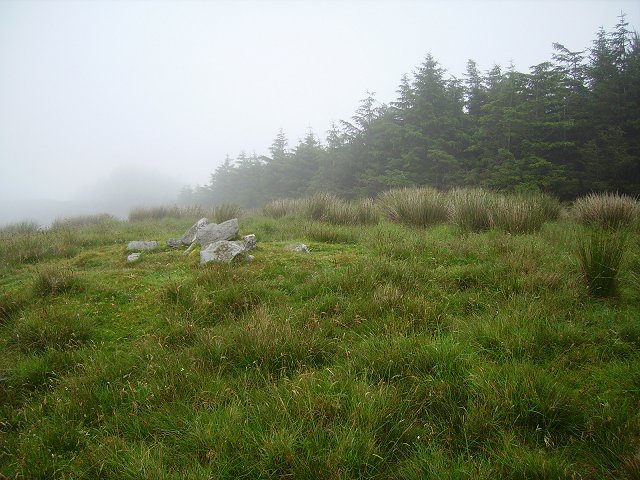
Shown on OS 6-inch map (1842) as hachured univallate enclosure (diam. 22m). Inaccessible due to heavy afforestation.
The above description is derived from the published 'Archaeological Inventory of County Cork. Volume 1: West Cork' (Dublin: Stationery Office, 1992). In certain instances the entries have been revised and updated in the light of recent research.
Date of upload/revision: 14 January 2009
The monument record does not grant public access. Check the route and ask the landowner before entering private land.
- What survives
- Recorded monument
Places near here
 Derrylahard EastMountain / peak · 1097 yd
 IndicatedFairy fort / earthen ringfort · 1308 yd
 Barnageehy Loop WalkWalking route · 1385 yd
 KilbreaghMountain / peak · 1.2 mi
 farm housefarm house · 1.3 mi
 Parknakilla Childrens Burial GdBurial ground · 1.4 mi
 MineMine, copper · 1.8 mi
 Coolnalong Castle (in Ruins)House, fortified house · 3.0 mi
 Mannion's Island (Small)Islet · 3.2 mi
 Coomkeen Loop WalkWalking route · 3.2 mi
 Rossmore Castle (in Ruins)Castle, tower house · 3.2 mi
 Danno O’Mahony statueMemorial · 3.2 mi