
What is recorded here
In tillage. A roughly trapezoidal enclosure with rounded corners identified as a cropmark on satellite imagery (Google Earth Pro, imagery date 14 July 2018) by Faith Bailey and Simon Dowling. The enclosure (dims. c. 43m E-W; c. 38m N-S at the E end tapering to c. 26m at W end) is defined by fosse and tapers towards the W side. There are two cropmarks indicating possible field boundaries, one running N (L c. 23m) from mid-way along the N side and the other running NE (L c. 22m) from the NE angle.
See attached image:
CW017-065----_01 Google Earth Pro Image © 2019 CNES/Airbus
Compiled by: Jean Farrelly
Date of upload: 5 November 2019
A local fairy fort (ringfort/rath); wider significance not recorded.
The monument record does not grant public access. Check the route and ask the landowner before entering private land.
- What survives
- Recorded monument
Places near here
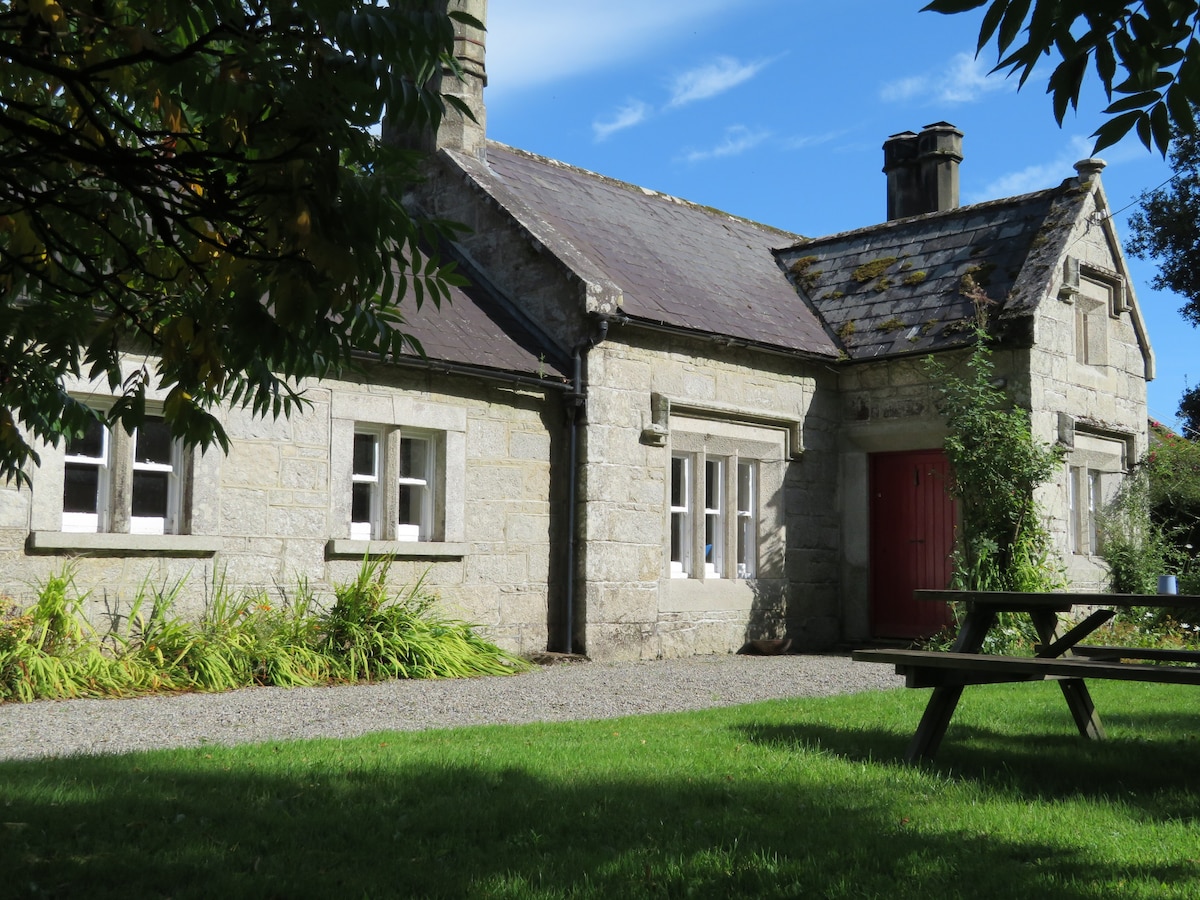 Enclosure in LasmaconlyEnclosure · 1663 yd
 Enclosure in BallyleenEnclosure · 1728 yd
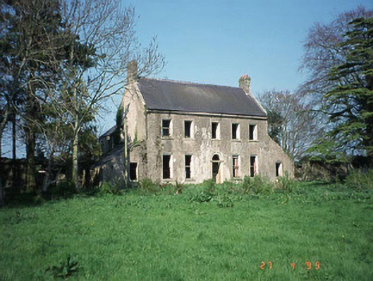 Ballinvally Housefarm house · 1.2 mi
 English hollyEnglish holly · 1.4 mi
 Church (in ruins), GraveyardChurch · 1.9 mi
 Catholic Church of Saint Peter and Saint Paulchurch/chapel · 1.9 mi
 Monkey-puzzleMonkey-puzzle · 2.1 mi
 Altamont Gardens MapVisitor information · 3.2 mi
 Castlegrace MoatCastle, motte · 3.3 mi
 Altamont House and GardensHeritage attraction · 3.3 mi
 CroaghaunMountain / peak · 3.5 mi
 Rathnageeragh Castle (in ruins)Castle, unclassified · 4.3 mi
Other information
Photo: Credit not shown in the picture search · Rights wording not checked; contact us if this picture should be removed