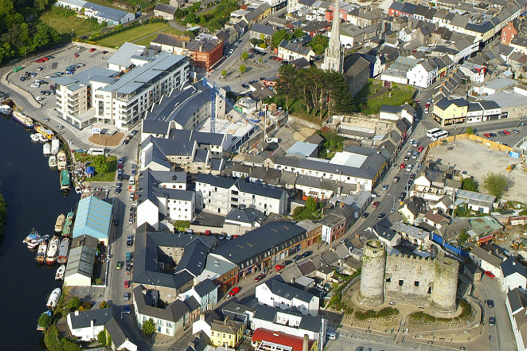
What is recorded here
Incomplete though it stands, the enclosure in Linkardstown still draws its border in shadow beneath the crop, a curved fosse deep enough to hold rain and memory while a narrower outer line watches the south and west. It is not a complete circle, but that absence may be the point: a place shaped like an invitation rather than a cage. The faint boundaries stretching outward suggest fields, perhaps farmed, perhaps fled, perhaps both. To walk its edge is to meet a landscape that stopped pretending to be ordinary.
Aerial photograph (GB96.FX.36) shows cropmark of an incomplete curvilinear enclosure defined by a fosse; a narrower outer fosse is located on the southern and western sides of the enclosure. Faint cropmark boundaries extending from the enclosure suggest an associated field system (CW012-201002-).
References:
Barrett, G.F. (2008) ‘The archaeology of County Carlow: an aerial perspective, in T. McGrath and T. O’Keefe (eds), County Carlow: History and Society, Geography Publications, Dublin. 31-51
Barrett , G.F. (2002) 'Flights of discovery: archaeological air survey in Ireland, 1989-2000' in The Journal of Irish Archaeology, XI, 2002. 1-30
Barrett, G.F. (1996) 'Archaeological air survey in County Carlow: discovery and destruction' Carloviana, 44, pp. 16-22
Compiled by: Dr. Gillian Barrett for the Archaeological Survey of Ireland.
Date of upload: 2 February 2012
The monument record does not grant public access. Check the route and ask the landowner before entering private land.
- What survives
- Recorded monument
Places near here
 IndicatedEnclosure · 347 yd
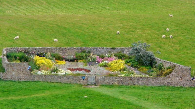 Enclosure in TinrilandEnclosure · 352 yd
 Pedunculate OakPedunculate Oak · 1131 yd
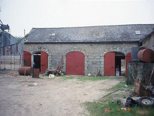 Castletown Castlestables · 1145 yd
 Saint Joseph's Catholic Churchchurch/chapel · 1196 yd
 Graveyard in ClonmelshGraveyard · 1.6 mi
 Site of CastleCastle, unclassified · 1.8 mi
 Graiguealug Castle in ruinsCastle, unclassified · 1.8 mi
 Church (in ruins), GraveyardChurch · 2.7 mi
 Common LimeCommon Lime · 3.6 mi
 Brownshill Portal TombVisitor information · 3.6 mi
 Carlow County MuseumMuseum · 3.7 mi
Other information
Photo: Credit not shown in the picture search · Rights wording not checked; contact us if this picture should be removed