What is recorded here
Situated on low-lying, poorly drained ground in gently rolling pasture. Sub-oval area (16.9m NW-SE; 18.5m NE-SW) enclosed by an earthen bank (int. H 0.1m; Wth 1m; ext. H 0.3m) which is well-preserved all round. There is a dip in the bank to the NE (Wth 3.5m) and a shallower dip to the SSW (Wth 1.5m). Either of these may be the original entrance. The interior is waterlogged and slopes gently down to the NE.
Compiled by: Denis Power
Date of upload: 30 May 2013
The monument record does not grant public access. Check the route and ask the landowner before entering private land.
- What survives
- Recorded monument
Places near here
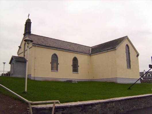 Saint Patrick's Catholic Churchchurch/chapel · 296 yd
 Not indicated, 394 ft. ODSettlement cluster · 1112 yd
 Burial ground in KnockeaBurial ground · 1142 yd
 Edwardstown Housecountry house · 1264 yd
 Lickadoon Castle (in ruins)Castle, tower house · 1388 yd
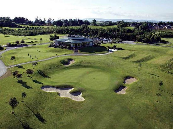 Ballyneety Castle (Site of)Castle, unclassified · 1608 yd
 ToberauillinSpring · 1.8 mi
 Campus MapVisitor information · 4.7 mi
 Visitor CentreVisitor information · 4.7 mi
 Fountain SculptureHeritage attraction · 4.7 mi
 Graveyard in AbingtonGraveyard · 6.5 mi
 MillMill, unclassified · 1284 yd