
What is recorded here
Raised circular area (int. diam. 8m) enclosed by a low, narrow earthen bank accompanied by an apparently modern external trench. Site is divided into two roughly equal portions by a field bank running NW-SE, the area SW of which has been levelled. Entrance feature (Wth 3m) at N. Known locally as a 'fort'.
The above description is derived from the published 'Archaeological Inventory of County Cavan' (Dublin: Stationery Office, 1995). In certain instances the entries have been revised and updated in the light of recent research.
Date of upload/revision: 22 December 2008
A local fairy fort (ringfort/rath); wider significance not recorded.
The monument record does not grant public access. Check the route and ask the landowner before entering private land.
- What survives
- Recorded monument
Places near here
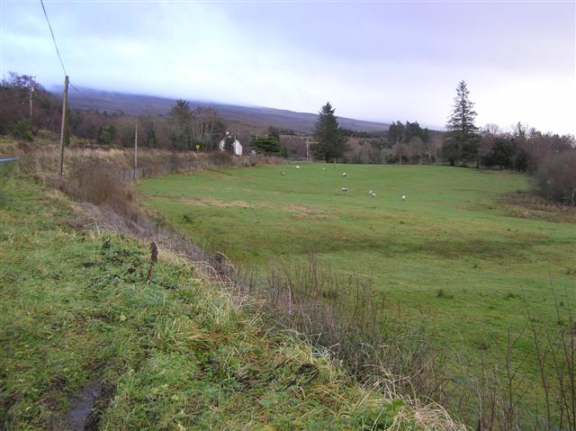 IndicatedFairy fort / stone ringfort · 592 yd
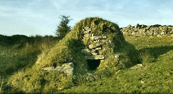 Sweathouse in GowlatSweathouse · 875 yd
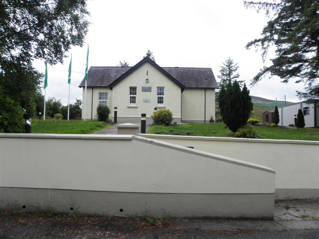 CurraghvahMountain / peak · 1707 yd
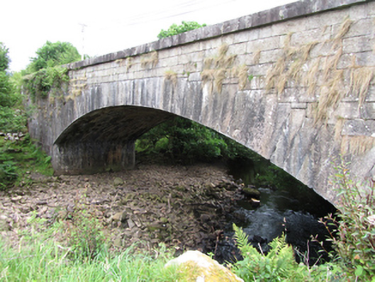 bridgebridge · 1.5 mi
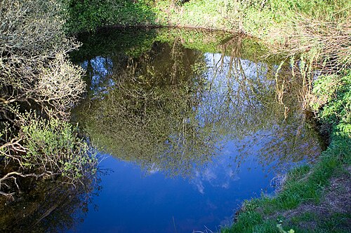 Shannon PotSpring · 1.7 mi
 Legnashinna CavernCave · 1.7 mi
 Corratober UpperMountain / peak · 1.9 mi
 Foxes CaveCave · 2.0 mi
 Crofton's HillForest · 2.3 mi
 PlaygroudCliff · 2.5 mi
 CarrignahastaCliff · 2.8 mi
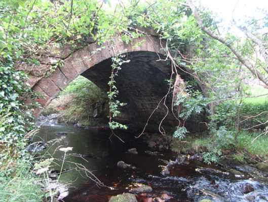 Carty’s Bridgebridge · 2.8 mi
Other information
Photo: Credit not shown in the picture search · Rights wording not checked; contact us if this picture should be removed