What is recorded here
Fairy fort in Corcashel, County Cavan: a circular rath, about thirty-one metres across, with an earthen bank and shallow ditch on the northwest shoulder of a hill. It stood within coniferous trees, its entrance lost and its shape disturbed by planting. The fort may have been a home, a boundary marker or a place of seasonal gathering, but the earth and trees have taken back its exact purpose.
Situated on a terrace, on the NW shoulder of a mountainous hill and within a plantation of coniferous trees. An earlier report (OPW 1974) described a raised circular area (int. diam. c. 31m) enclosed by a substantial earthen bank and a wide, shallow fosse. Original entrance not recognisable. The site was much disturbed as a result of tree planting. Not located.
The above description is derived from the published 'Archaeological Inventory of County Cavan' (Dublin: Stationery Office, 1995). In certain instances the entries have been revised and updated in the light of recent research.
Date of upload/revision: 22 December 2008
The monument record does not grant public access. Check the route and ask the landowner before entering private land.
- What survives
- Recorded monument
Places near here
 Sweat Ho.Sweathouse · 1082 yd
 Corratober UpperMountain / peak · 1733 yd
 Sweat HouseArchaeological place · 1.1 mi
 PlaygroudCliff · 1.2 mi
 CarrickbrannanMountain / peak · 1.3 mi
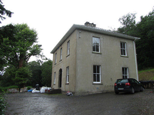 Manor Houserectory/glebe/vicarage/curate's house · 1.6 mi
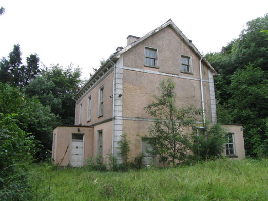 Corrard Househouse · 1.7 mi
 Corrard ForestForest · 1.8 mi
 CarrignahastaCliff · 1.8 mi
 Republican Garden of RemembranceMemorial · 1.8 mi
 TobermurrySpring · 2.0 mi
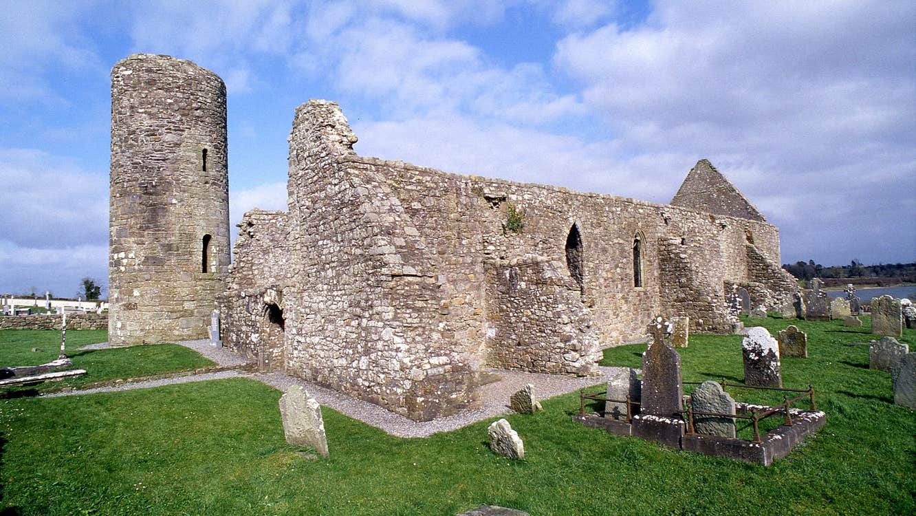 Moneensauran Cuilcagh Anierin Uplands Special Area of ConservationNature reserve · 3.3 mi