
What is recorded here
Not marked on OS 1836 or 1876 eds. Situated within a dense modern plantation of coniferous trees adjacent to a stream. Described as 'almost completely ruined' in 1939 (1939, 34), it is now largely destroyed. A small beehive-shaped drystone-built structure (int. diam. 1.65m). The roof-stones and the wall at NW have collapsed.
The above description is derived from the published 'Archaeological Inventory of County Cavan' (Dublin: Stationery Office, 1995). In certain instances the entries have been revised and updated in the light of recent research.
Date of upload/revision: 22 December 2008
A local holy well or ritual site; wider significance not recorded.
The monument record does not grant public access. Check the route and ask the landowner before entering private land.
- What survives
- Recorded monument
Places near here
 Sweat HouseArchaeological place · 858 yd
 Sweathouse in TullaghyrorySweathouse · 1338 yd
 CarrickbrannanMountain / peak · 1491 yd
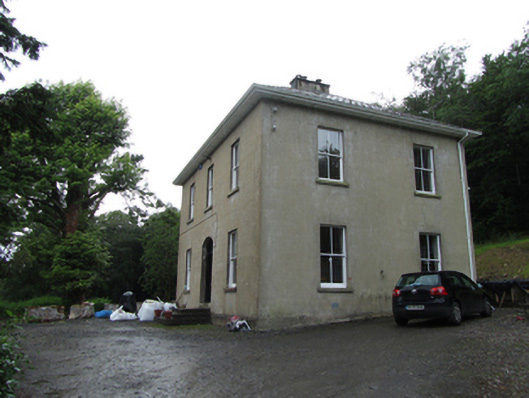 Manor Houserectory/glebe/vicarage/curate's house · 1.1 mi
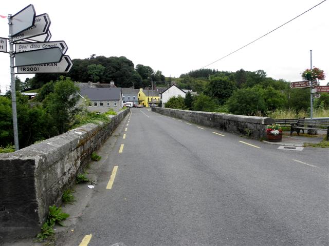 Dowra Bridgebridge · 1.1 mi
 Corratober UpperMountain / peak · 1.2 mi
 Corrard ForestForest · 1.2 mi
 Republican Garden of RemembranceMemorial · 1.2 mi
 TobermurrySpring · 1.6 mi
 PlaygroudCliff · 1.7 mi
 CarrignahastaCliff · 2.3 mi
 Fahy RockIslet · 3.4 mi
Other information
Photo: Credit not shown in the picture search · Rights wording not checked; contact us if this picture should be removed