What is recorded here
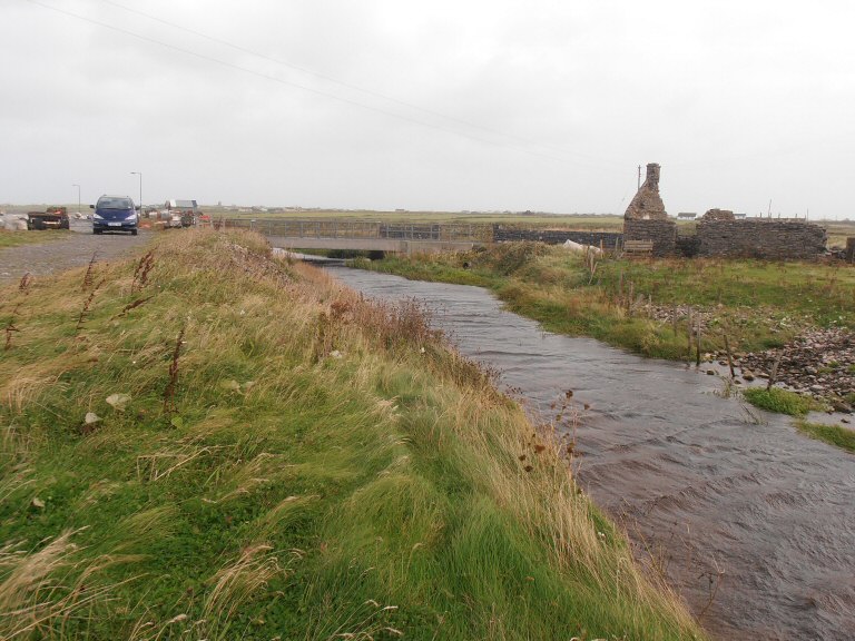
In pasture, located on a slight E-facing slope, c. 300m SW of the Leaffony River. Very slightly raised, oval area (48m N–S; c. 59.5m E–W) defined by remnants of a partly levelled earthen bank (Wth 1.8m; int. H 0.2m; ext. H 0.4m, at N), truncated at S–SW by an E–W field fence. Another field fence on a NE–SW axis cuts the E–SE edge of the enclosure. Large stones protrude from the bank, some of which, at NW in particular, may be the remnants of stone facing. The interior has a slight slope down from W to E, and the E half appears to be built up somewhat to compensate for this natural slope. In the SE quadrant there is an oblong hollow or pit (max. dim. 8-10m) encircled by a raised rim or bank (W c. 3m; int. H 0.8m; ext. H 0.3m) of earth and stones. This appears to be the result of quarrying. There is a Man-made underground passage (SL011-135----) 40m to N, and another rath (SL011-085----) located c. 270m to ENE.
Compiled by: Jane O’Shaughnessy
Date of upload: 22 April 2013
The monument record does not grant public access. Check the route and ask the landowner before entering private land.
- What survives
- Recorded monument
Places near here
 IndicatedFairy fort / earthen ringfort · 454 yd
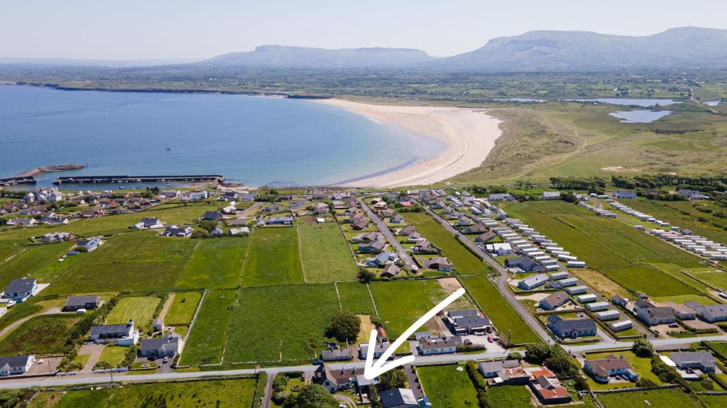 Enclosure in Drinaghan MoreEnclosure · 1242 yd
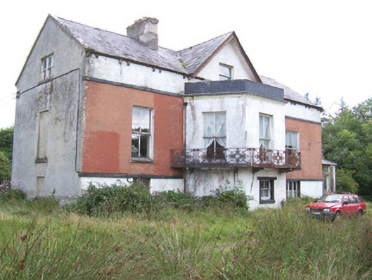 Kilglass Househouse · 1.3 mi
 ChapelChurch · 1.3 mi
 Castle FirbisCastle, tower house · 1.8 mi
 CastleCastle, unclassified · 2.1 mi
 Rathlee HeadHeadland · 2.8 mi
 Wild Atlantic Way: Inishcrone PierVisitor information · 3.1 mi
 Grave of the Black PigArchaeological place · 3.8 mi
 The Black PigMemorial · 4.1 mi
 Enniscrone BeachBeach / strand · 4.2 mi
 Bunowna PointHeadland · 4.4 mi
Other information
Photo: Credit not shown in the picture search · Rights wording not checked; contact us if this picture should be removed