
What is recorded here
Indicated on the 1st (1839) ed. OS 6-inch map as a roughly circular enclosure (diam. c. 60m). On the 1948 revision of this map only the N of the bank/scarp and external fosse are indicated, with a field boundary indicating the enclosing element in the S sector. The fosse is visible as a cropmark on an aerial photograph (CUCAP AYK056, 9 July 1969) with a large dark area in the interior and extending E and W across the fosse, which is possibly indicated former quarrying. On satellite imagery (Digitalglobe 2005-2012) the fosse of this oval enclosure (diam. c. 56m N-S; c. 50m E-W) is visible in the N and SE sectors.
See attached:
KK027-034----_01 aerial photograph CUCAP AYK056, 9 July 1969
Compiled by: Jean Farrelly
Date of upload: 3 April 2023
A local fairy fort (ringfort/rath); wider significance not recorded.
The monument record does not grant public access. Check the route and ask the landowner before entering private land.
- What survives
- Recorded monument
Places near here
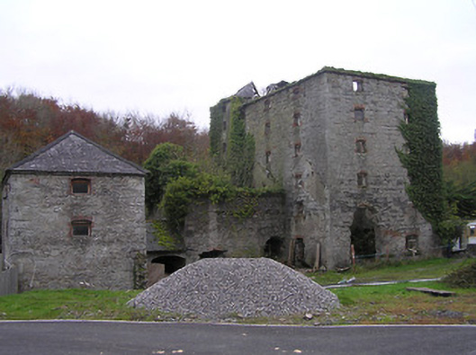 mill (water)mill (water) · 715 yd
 bridgebridge · 929 yd
 RIC BarracksMemorial · 958 yd
 Coortaur Castle (in ruins)Castle, unclassified · 996 yd
 Petty Sessions Courthouse 1839Memorial · 1013 yd
 Enclosure in Rathduff LowerEnclosure · 1103 yd
 TobermogueHoly well · 1136 yd
 Prior's TowerCastle · 1.1 mi
 Kells Augustinian PrioryHeritage attraction · 1.1 mi
 Kells Loop WalkWalking route · 1.2 mi
 Kells Priory Mill MuseumMuseum · 1.3 mi
 Lacken WellSpring · 1.6 mi
Other information
Photo: Credit not shown in the picture search · Rights wording not checked; contact us if this picture should be removed