
What is recorded here
Six-arch rubble stone road bridge over river, c.1775. Random rubble stone walls with cut-stone triangular cut-waters (some full-height) to piers, and squared rubble stone coping to parapets incorporating pedestrian refuge. Series of six segmental arches with squared rubble stone voussoirs, and rubble stone soffits having remains of render over. Sited spanning Kings River with grass banks to river.
An attractive bridge forming an important element of the late eighteenth-century civil engineering heritage of the locality while presenting a picturesque landmark spanning the Kings River. The construction in unrefined locally-sourced rubble stone together with the slightly varied profile to the arches produces a rustic quality that assimilates well into the surrounding rural landscape.
This does not grant access. Most recorded buildings are privately owned; view them only from public ground unless the owner allows entry.
Places near here
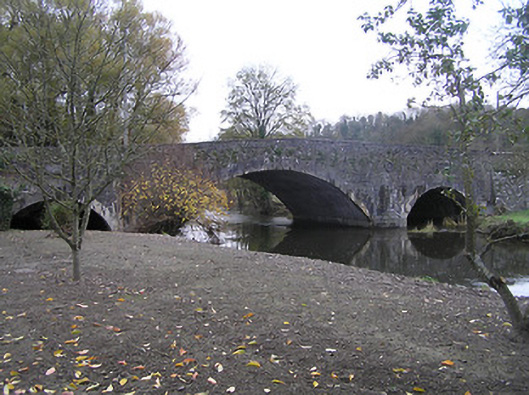 Ennisnag Bridgebridge · 243 yd
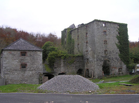 mill (water)mill (water) · 243 yd
 TobermogueHoly well · 378 yd
 Coortaur Castle (in ruins)Castle, unclassified · 501 yd
 RIC BarracksMemorial · 819 yd
 Petty Sessions Courthouse 1839Memorial · 839 yd
 Enclosure in LawcusEnclosure · 929 yd
 Prior's TowerCastle · 1.6 mi
 Kells Augustinian PrioryHeritage attraction · 1.6 mi
 Kells Loop WalkWalking route · 1.7 mi
 Cats WoodWood · 1.7 mi
 Kells Priory Mill MuseumMuseum · 1.8 mi
Other information
Photo: A.-K. D. · CC BY-SA 4.0