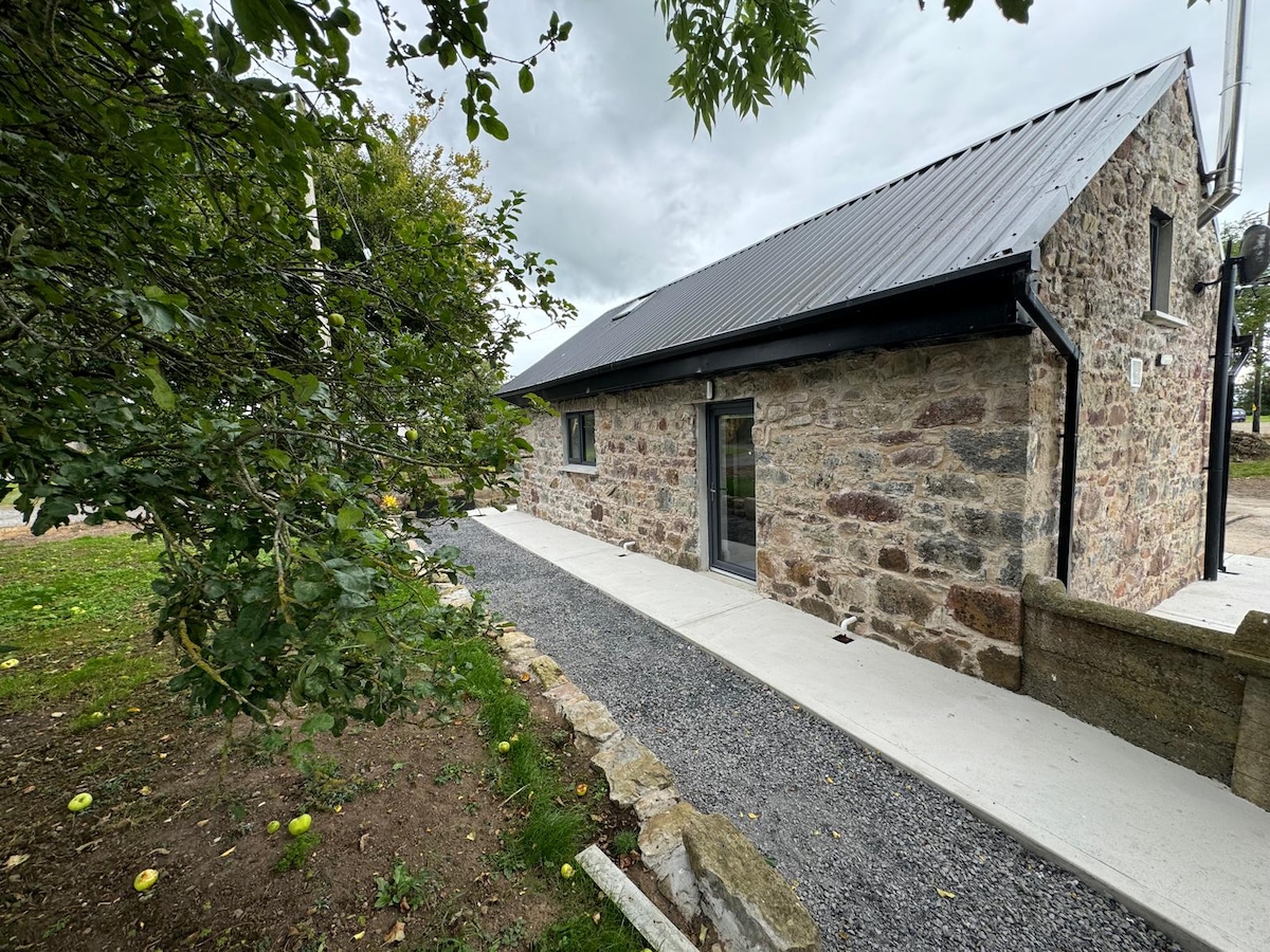
What is recorded here
Roughly oval area (dims. c. 82m N-S; c. 92m E-W) defined by low earthen bank (Wth c. 2.5m; int. H c. 1.1m) ENE-S. Substantial earthen bank (Wth c. 5m; int. H c. 0.9m; ext. H c. 2.0m ) S-NNW. Scarp (Wth c. 2.6m; ext. H c. 1.0m) NNW-ENE. Breach (Wth c. 2m) at SE; breach (Wth c. 3m) at SSW; breach (Wth c. 2.2m) at NW. Entire bank and scarp covered in briars etc. and a variety of whitethorn, oak, fir etc. Interior generally level. Raised (H c. 0.25m) irregular shaped area defined by levelled scarp (H c. 0.25m) on NW and W sides, enclosing eastern side of interior (dims. c. 56m N-S, c. 43m E-W). Field boundary (long axis N-S) crosses interior (L c. 48m). Enclosure (TS068-074---) located c. 500m to W; Enclosure (TS068-075---) located c. 700m ENE.
Compiled by: Jean Farrelly
Date of upload: 26 August 2011
The monument record does not grant public access. Check the route and ask the landowner before entering private land.
- What survives
- Recorded monument
Places near here
 CastleCastle, unclassified · 954 yd
 Site of ChurchChurch · 1023 yd
 Field system in BallyslatteenField system · 1440 yd
 Hymenstownhouse · 1533 yd
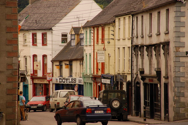 Bawn in Lagganstown UpperBawn · 1.0 mi
 Hymenstown Househouse · 1.1 mi
 Athassel PrioryHeritage attraction · 2.1 mi
 Caucasian zelkovaCaucasian zelkova · 2.9 mi
 Cappa WoodWood · 3.6 mi
 Slieveanard NE TopMountain / peak · 4.3 mi
 SlieveanardMountain / peak · 4.9 mi
 Caher AbbeyHeritage attraction · 5.1 mi
Other information
Photo: Credit not shown in the picture search · Rights wording not checked; contact us if this picture should be removed