What is recorded here
In the SMR (1992) and the RMP (1997) this record was incorrectly classified as a church and graveyard. The church and graveyard refer to that at Kyle (TS059-090----; TS059-090001-). The record has been re-classified as an enclosure. It is located in undulating pasture. There are old stream and drainage channels in the field, emphasised by the growth of flag irises. An oval area (dims. c. 28m NE-SW; c. 19m NW-SE) defined by a bank (Wth 4.5m; int. H 0.25m; ext. H 0.7m), fosse (Wth 5.75m; D 0.2m) and outer bank (Wth 4.65m; int. H 0.2m; ext. H 0.15m). The bank is in the NW quadrant and is reduced to scarp (Wth 1.3m; H 1.05m) at the WNW but is not seen elsewhere due to the dense growth of briars and whitethorn. The fosse survives from NW-NNE and is traceable at the WSW. The outer bank is visible in the NNW-N and WNW. A drain (Wth 3m; long-axis NE-SW) truncates the monument across the SE sector. A possible entrance (Wth c. 8m) at the W has a ramp up into the interior. A breach (Wth 10m) at the NE may be modern. There is a scarp (Wth 1.2m; H 0.1m) running E-W across the N half of the grass-covered interior. The perimeter is obscured by a dense thicket of briars.
Compiled by: Jean Farrelly
Date of upload: 26 August 2011
The monument record does not grant public access. Check the route and ask the landowner before entering private land.
- What survives
- Recorded monument
Places near here
 Enclosure in Kyle (solloghodbeg Par.),newtown (solloghodbeg Par.)Enclosure · 384 yd
 Enclosure in Carron (solloghodbeg Par.),kyle (solloghodbeg Par.)Enclosure · 615 yd
 Soloheadbeg Ambush SiteMemorial · 1200 yd
 CastleCastle, unclassified · 1297 yd
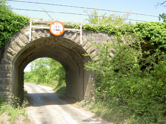 bridgebridge · 1692 yd
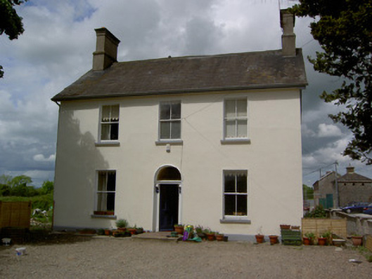 Limerick Junction Railway Stationstation master's house · 1.1 mi
 Soloheadbeg Ambushambush · 1.1 mi
 MoatCastle, motte and bailey · 1.9 mi
 The Maid of ErinMemorial · 2.6 mi
 Oola HillMountain / peak · 3.3 mi
 European ashEuropean ash · 3.8 mi
 The RockViewpoint · 5.0 mi