What is recorded here
An oval enclosure (diam. c. 50m NW-SE; c. 40m NE-SW) identified by Lidar commissioned by Transport Infrastructure Ireland (pers. comm. Simon Dowling 4 February 2018).
See attached Lidar image by Simon Dowling:
WA023-082----_01
Compiled by: Jean Farrelly
Date of upload: 21 May 2019
The monument record does not grant public access. Check the route and ask the landowner before entering private land.
- What survives
- Recorded monument
Places near here
 Bawn in BarnankileBawn · 1530 yd
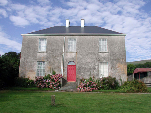 Mount Kennedyhouse · 1718 yd
 farm housefarm house · 1.1 mi
 Burnt mound in GortnalaghtBurnt mound · 1.2 mi
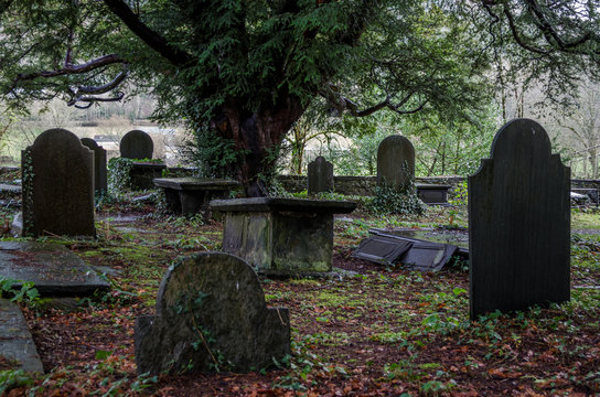 Grave YardGraveyard · 1.2 mi
 Bawn in Castlequarter (decies Without Drum By., Kilrossanty Par.)Bawn · 2.0 mi
 Deelish MountainMountain / peak · 2.7 mi
 CrohaunMountain / peak · 2.9 mi
 Crough WoodWood · 3.4 mi
 Magic Road (finish)Heritage attraction · 3.7 mi
 Magic Road (start)Heritage attraction · 3.7 mi
 Standing StoneMemorial · 4.1 mi