What is recorded here
Site identified on aerial photograph taken on 11/8/1996 by Michael Moore (ASIAP 43(22-24)). No surface remains visible, site located on flat land in ploughed field at time of inspection. No archaeological features visible in ploughsoil. Ringfort (TN047-040) located 50m to E.
Compiled by: Jean Farrelly and Caimin O'Brien
Date of upload/revision: 22 September 2008
The monument record does not grant public access. Check the route and ask the landowner before entering private land.
- What survives
- Recorded monument
Places near here
 CastleCastle, tower house · 898 yd
 Bawn in MoycarkyBawn · 1548 yd
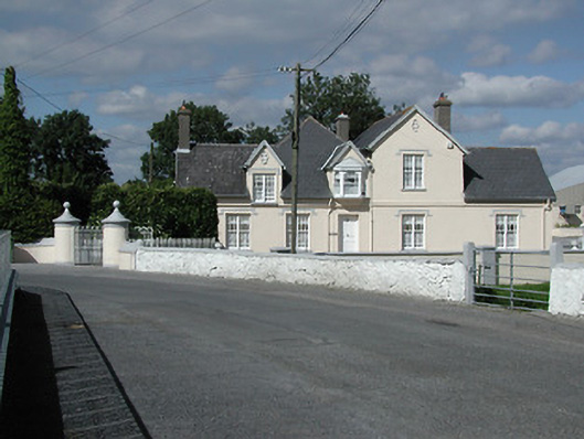 Moycarky Cottagehouse · 1589 yd
 Church (in ruins), Grave Yd.Church · 1591 yd
 ToberavockyHoly well · 1658 yd
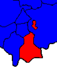 Enclosure in BallymurreenEnclosure · 1.0 mi
 Gift Horse GalleryGallery · 1.6 mi
 European ashEuropean ash · 1.7 mi
 Byrnes's WoodsForest · 1.8 mi
 Horse and JockeyVisitor information · 2.1 mi
 Lár na PáirceMuseum · 3.0 mi
 Killough Hill (site of)Mountain / peak · 3.0 mi