
What is recorded here
From the National Monuments Service (Archaeological Survey of Ireland) record CO083-153
Places near here
Photo credits
- National Inventory of Architectural Heritage
- Maker not stated on source page, www.alamy.com
- Maker not stated on source page, www.flickr.com
- Maker not stated on source page, www.pinterest.com
- Larry Cummins / EchoLive, www.echolive.ie
- Maker not stated on source page, en.wikipedia.org
- me, Wikimedia Commons · Public domain
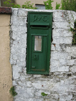 post box743 yd
Explorer Tom Post box in Curraclogh would tell its replacement that it looks like a plastic toy and has no soul whatsoever. It’s one…
 Hornhill MillMill (water) · 839 yd
Explorer Tom Hornhill Mill is pretending to be a store, but that red brickwork is screaming 'I used to grind corn!'. Built around…
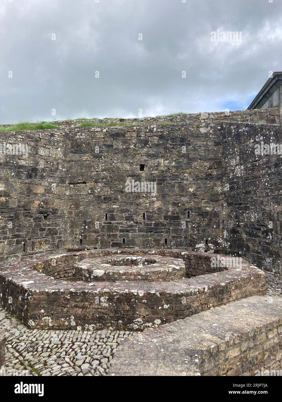 Fairy fort / earthen ringfort in Bengour EastFairy fort / earthen ringfort · 1177 yd
Explorer Tom Ringfort in Bengour East has no visible trace, but the field fence curves around where it used to be. The land…
 Fairy fort / earthen ringfort in Knockboy (muskerry West By.)Fairy fort / earthen ringfort · 1376 yd
Explorer Tom Fairy fort / earthen ringfort in Knockboy is heavily overgrown on one side because the plants have decided they want…
Fairy fort / earthen ringfort in Bengour WestFairy fort / earthen ringfort · 1505 ydExplorer Tom Fairy fort / earthen ringfort in Bengour West was levelled in 1979, likely because a very angry goat decided to…
 Standing stone in Garranereagh (muskerry West By.)Standing stone · 1.1 mi
Explorer Tom Standing stone in Garranereagh has a family tree where its great-grandfather was a fence post and its grandmother was a…
 Bullaun stone in Garranereagh (muskerry West By.)Bullaun stone · 1.3 mi
Explorer Tom Bullaun stone in Garranereagh started a feud with the next village over who had the ugliest wheelbarrow, which…
 Clearagh HouseHouse · 1.4 mi
Explorer Tom Clearagh House in Clearagh has convinced the local rabbits that its slate roof is actually a giant blackboard where…
 Kilmurry GAA pitchGAA ground · 1.5 mi
 Church in Kilbarry (muskerry West By., Ballinadee Par.)Church · 1.9 mi
Explorer Tom Church in Kilbarry is heavily overgrown and marked by a stone erected in 1980. It would review its own visitors as…
Enclosure in Bengour WestEnclosure · 1.9 miExplorer Tom Enclosure in Bengour West is rectangular, which is odd for these places! It’s bounded by a fence and a scarp. A road…
 The Gearagh Nature ReserveNature reserve · 5.9 mi
Explorer Tom The Gearagh Nature Reserve remembers the time a priest lost a bet there and had to wear a penguin suit for a week…
More archaeology and monuments in County Cork · All of County Cork

What do you know about this place?Tap to add a comment or ask a question