
What is recorded here
Cropmark of circular-shaped enclosure (approx. diam. 27m) visible on Digital Globe aerial imagery. Cropmark of possible field system of unknown antiquity to W.
Compiled by: Caimin O'Brien based on details provided by Seán Sourke
Date of upload: 01 July 2019
The monument record does not grant public access. Check the route and ask the landowner before entering private land.
- What survives
- Recorded monument
Places near here
 Church in ColbinstownChurch · 929 yd
 Enclosure in BallynureEnclosure · 976 yd
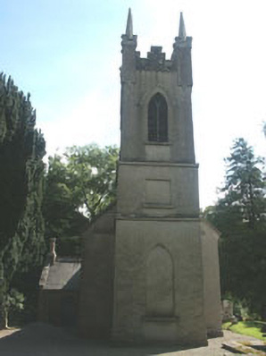 Church of the Ascension (Ballynure)church/chapel · 1021 yd
 Enclosure in KnoxtershillEnclosure · 1142 yd
 Spratstown Fox CovertWood · 1237 yd
 Colbinstown Castle (in Ruins)Castle, unclassified · 1540 yd
 Grangecon Castle (in ruins)Castle, tower house · 1.2 mi
 CrookanurnWood · 2.0 mi
 Memorial to 1798 rebellionMonument · 3.7 mi
 Ballyhook HillMountain / peak · 3.8 mi
 Tinoran HillMountain / peak · 4.5 mi
 Burtown House and GardensHeritage attraction · 4.7 mi
Other information
Photo: Credit not shown in the picture search · Rights wording not checked; contact us if this picture should be removed