
What is recorded here
On a broad E-W ridge in pasture. Hachured on the first edition (1842) of the OS 6-inch map which records a circular enclosure (est. diam. c. 30m), possibly a ringfort. When inspected in 1999, no surface traces were visible, however subsurface archaeological deposits may survive undisturbed.
Compiled by: Gearóid Conroy and Conn Herriott
Date of upload: 20 July 2023
The monument record does not grant public access. Check the route and ask the landowner before entering private land.
- What survives
- Recorded monument
Places near here
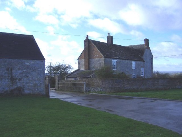 Enclosure in Ballard (inchiquin By.)Enclosure · 839 yd
 Enclosure in GortleckaEnclosure · 860 yd
 Burren National ParkVisitor information · 1677 yd
 Mullagh MoreMountain / peak · 1.3 mi
 Correen R.C. Chapel (in ruins)Church · 1.4 mi
 Glenquin Housefarm house · 1.5 mi
 Father Ted's HouseHeritage attraction · 1.5 mi
 Castle (in ruins)Castle, unclassified · 1.8 mi
 Slieve RoeMountain / peak · 1.8 mi
 Ballyporty Castle (in ruins) / TowerCastle, tower house · 2.5 mi
 Rock IslandIsland · 3.8 mi
 Battle of TullyodeaBattlefield · 3.8 mi
Other information
Photo: Credit not shown in the picture search · Rights wording not checked; contact us if this picture should be removed