
What is recorded here
Visible on a 1967 aerial photograph (CUCAP ASU 90) as the cropmark of a fosse enclosing a small circular area (est. diam. c. 15m), possibly a ringditch. On a narrow, level terrace on the NE slope of Dun Aillinne, in mixed pasture and tillage. No visible surface trace survives. A second, larger, cropmark site (KD028-037----) lies c. 85m to the SE.
Compiled by: Gearóid Conroy
Date of upload: 15 February 2013
The monument record does not grant public access. Check the route and ask the landowner before entering private land.
- What survives
- Recorded monument
Places near here
 St. Johns WellHoly well · 510 yd
 Hill of Allen (sic)Ceremonial enclosure · 595 yd
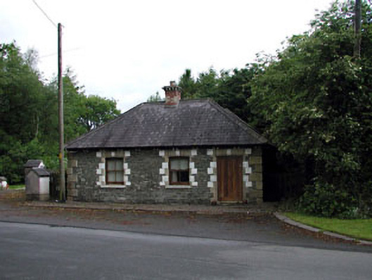 Sunnyhill Housegate lodge · 912 yd
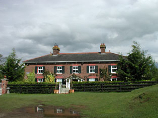 Sunnyhill Cottagehouse · 1126 yd
 1798 memorial stoneMonument · 1.4 mi
 Coillte ForestForest · 1.6 mi
 Castle in RuinsCastle, tower house · 1.6 mi
 ElderElder · 1.7 mi
 Castlefish (in Ruins)Castle, unclassified · 2.3 mi
 Newbridge SilverwareMuseum · 4.0 mi
 Battle of Kilrushbattle · 5.5 mi
 Gorden Bennet Race memorialMemorial · 8.9 mi
Other information
Photo: Credit not shown in the picture search · Rights wording not checked; contact us if this picture should be removed