What is recorded here
Knockainy West holds two ghost enclosures, one perhaps older than the other, buried under pasture and memory. The land keeps their shapes in cropmarks rather than stones, suggesting people lived there long before maps learned their names.
On a gentle N-facing slope, in improved pasture, 15m E of a townland boundary with Kilballyowen. Field system (LI032-230001-) lies 130m to W, enclosure (LI032-023002-) 60m to NW and ringfort (LI032-131----) 150m to S. Not depicted on OSi historic maps. Monument identified by the Bruff aerial photographic survey in 1986 (Bruff 252: AP 5/2053) as a semicircular-shaped cropmark from SW-W-N-NE. Levelled monument is visible as a very faint oval-shaped cropmark (44m E-W; 41m N-S) on OSi orthoimage taken 2005-2012. Although this cropmark is not visible on Google Earth orthoimage taken 20/09/2020, a large oval-shaped cropmark (54m E-W; 47m N-S) is visible to N and partially overlying the area of this monument. This may represent two different levelled enclosures of different periods.
See attached Google Earth orthoimage and Bruff aerial survey image labelled 252
Compiled by: Alison McQueen and Vera Rahilly
Date of upload: 16 November
The monument record does not grant public access. Check the route and ask the landowner before entering private land.
- What survives
- Recorded monument
Places near here
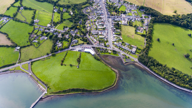 Field system in KilballyowenField system · 316 yd
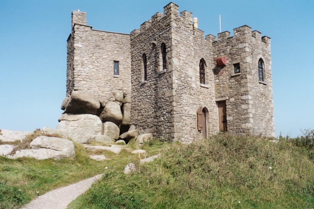 Carn of Uainide, HachuredBarrow, ring-barrow · 918 yd
 KnockainyMountain / peak · 989 yd
 Kilballyowen HouseCastle, unclassified · 1344 yd
 Old Parochial Housepresbytery/parochial/curate's house · 1420 yd
 Knockainy Castle (in ruins)Castle, tower house · 1692 yd
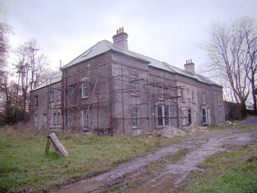 Baggotstown Housecountry house · 1754 yd
 Glen BogForest · 1.1 mi
 Flat cemetery in Knockainy WestFlat cemetery · 1.5 mi
 Kilteely HillMountain / peak · 4.6 mi
 St. Patrick's WellSpring · 4.9 mi
 St Patrick's WellSpring · 5.0 mi