What is recorded here
A circular enclosure visible as a crop mark on an aerial photograph. Another enclosure is located to the south in an adjacent field, quite close (DU015-110----) (SMR file; pers. comm. T. Condit). Located at high point in landscape with views north to Feltrim Hill and east to Howth head. Ground relatively flat where site is but slopes steeply northwards.
From the National Monuments Service (Archaeological Survey of Ireland) record DU015-111
The monument record does not grant public access. Check the route and ask the landowner before entering private land.
- What survives
- Recorded monument
Places near here
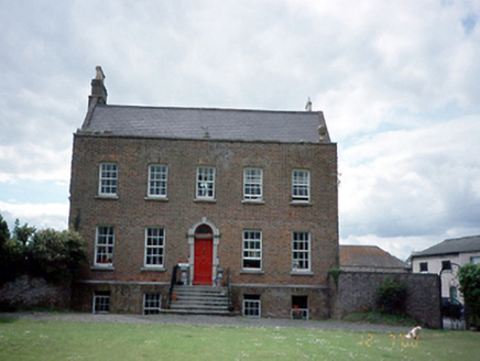 Kinsaley HouseHouse · 249 ydEnclosure in KinsaleyEnclosure · 315 yd
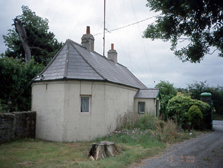 Kinsealy HallGate lodge · 349 yd
_-_20190511182101.jpg/250px-County_Dublin_-_St_Catherine's_Well_(Malahide)_-_20190511182101.jpg "Photo: Jonjobaker, Wikimedia Commons · CC BY-SA 4.0") St Catherine's WellSpring · 1160 ydStrand Mill RuinsRuins · 1.0 mi
St Catherine's WellSpring · 1160 ydStrand Mill RuinsRuins · 1.0 mi MoatCastle, motte and bailey · 1.4 mi
 Malahide CastleCastle, tower house · 1.6 mi
 Malahide CastleHeritage attraction · 1.6 mi
.jpg/250px-The_%22Southern_Cross%22_Monument_at_Portmarnock_Beach_-_Also_Known_As_%22Eccentric_Orbit%22_erected_1999_(3498852886).jpg "Photo: William Murphy, Wikimedia Commons · CC BY-SA 2.0") The Southern Cross MonumentMonument · 1.9 mi
The Southern Cross MonumentMonument · 1.9 mi Baldoyle Estuary Nature ReserveNature reserve · 1.9 mi
 Portmarnock BeachBeach / strand · 2.0 mi
 Malahide BeachBeach / strand · 2.2 mi
Pictures: National Inventory of Architectural Heritage; Jonjobaker, Wikimedia Commons · CC BY-SA 4.0; Ianfhunter, Wikimedia Commons · CC BY 4.0; William Murphy from Dublin, Ireland, Wikimedia Commons · CC BY-SA 2.0; William Murphy, Wikimedia Commons · CC BY-SA 2.0; David Bagshaw, Wikimedia Commons · CC BY-SA 2.0; Raymond Okonski, Geograph · CC BY-SA 2.0; Peter Gerken, Geograph · CC BY-SA 2.0
More archaeology and monuments in County Dublin · All of County Dublin
What do you know about this place?