
What is recorded here
Shown on Taylor's Map of County Kildare (1783) as a circular enclosure, but not recorded on the OS mapping. Described in 1955 as a ringfort (diam c. 37.5m) with a large bank surrounding a mound, possibly the summit of the esker on which it was sited, and partially damaged by an adjacent quarry (pers. comm. P. Danaher). No visible surface trace survives and the quarry area, shown to the N on the OS mapping, is now level pasture.
Compiled by: Gearóid Conroy
Date of upload: 23 November 2012
The monument record does not grant public access. Check the route and ask the landowner before entering private land.
- What survives
- Recorded monument
Places near here
 Church (in Ruins)Church · 1410 yd
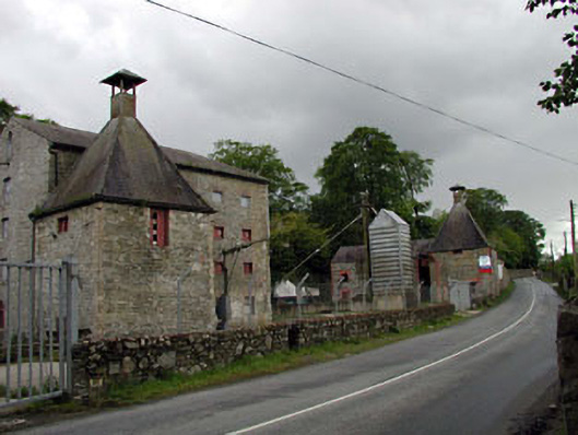 malt housemalt house · 1559 yd
 Rosetown RathFairy fort / earthen ringfort · 1621 yd
 IndicatedCastle, unclassified · 1.0 mi
 CastleCastle, unclassified · 1.3 mi
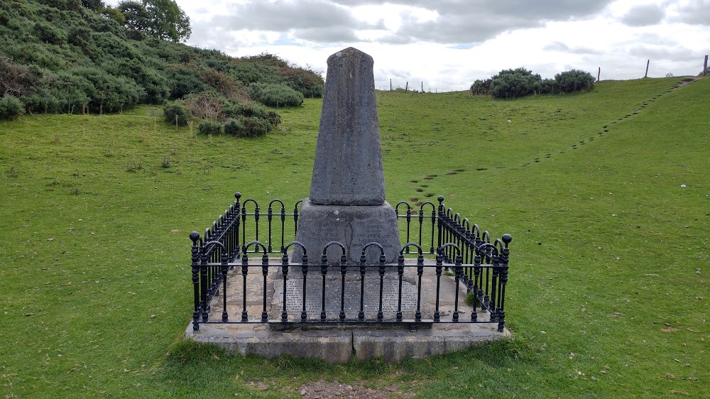 Donnelly's HollowMonument · 1.3 mi
 ElderElder · 1.4 mi
 1798 memorial stoneMonument · 1.5 mi
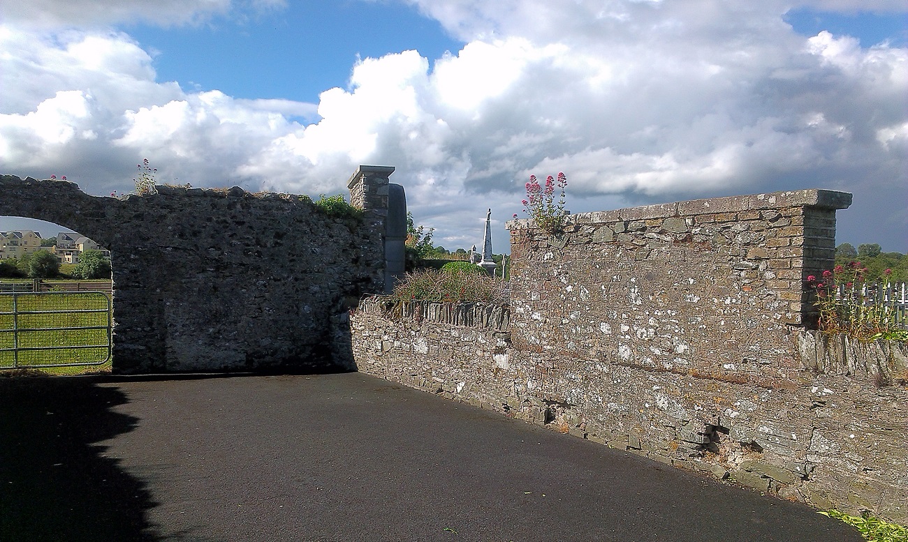 New Abbey WoodsWood · 2.1 mi
 Newbridge SilverwareMuseum · 2.6 mi
 Battle of Kilrushbattle · 6.5 mi
 Grand Canal WayVisitor information · 9.0 mi
Other information
Photo: Credit not shown in the picture search · Rights wording not checked; contact us if this picture should be removed