What is recorded here
In woodland to rear of old orchard and garden of two-storey period house. Irregular-shaped area (dims. 25m NE-SW; 20m NW-SE) defined by deeply quarried scarps (Wth 3.25m; H 2.5m) into E and S sectors. Gentle break of slope defines monument SW-N and remains of scarp (Wth 3.75m; H 1.35m) exist N-NE. Generally level interior interspersed with deciduous trees. Bohereen flanks exterior to NE and E.
Compiled by: Jean Farrelly
Date of upload: 26 August 2011
The monument record does not grant public access. Check the route and ask the landowner before entering private land.
- What survives
- Recorded monument
Places near here
 Loughcapple Househouse · 84 yd
 Loughcapple Bridgebridge · 231 yd
 IndicatedFairy fort / earthen ringfort · 614 yd
 Enclosure in KiltinanEnclosure · 799 yd
 Pedunculate OakPedunculate Oak · 995 yd
 CastleCastle, Anglo-Norman masonry castle · 1027 yd
 Killusty CastleCastle · 1.0 mi
 Persian WalnutPersian Walnut · 1.9 mi
 CarrickbrockMountain / peak · 2.0 mi
 CarrigdotiaMountain / peak · 2.0 mi
 East GateMemorial · 3.0 mi
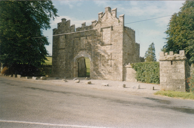 Kiltinan Castlegates/railings/walls · 351 yd