What is recorded here
Monument identified by M. Moore aerial survey (ASIAP (44) 10-14 and shows up as cropmark of a large circular enclosure on aerial photographs taken in 1996. No surface remains visible, situated on flat reclaimed grassland with good views in all directions, stream immediately to W. Not indicated on first ed. OS 6-inch map.
The above description is derived from 'The Archaeological Inventory of County Tipperary. Vol. 1 - North Tipperary' compiled by Jean Farrelly and Caimin O'Brien (Dublin: Stationery Office, 2002). In certain instances the entries have been revised and updated in the light of recent research.
Date of upload/revision: 22 September 2008
The monument record does not grant public access. Check the route and ask the landowner before entering private land.
- What survives
- Recorded monument
Places near here
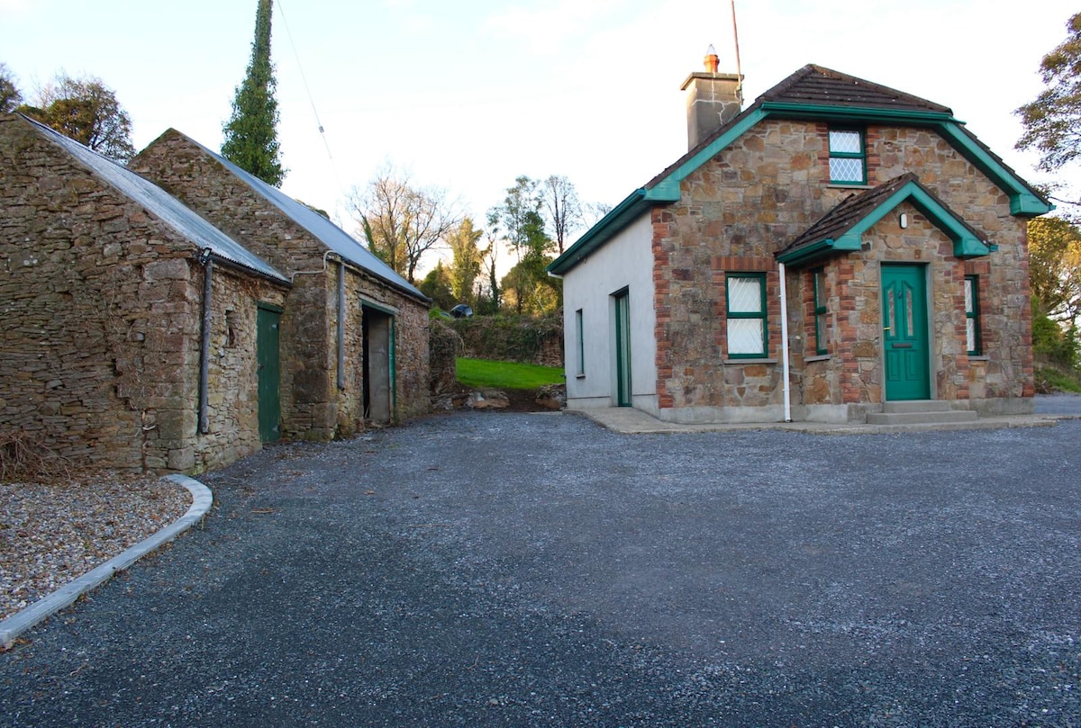 Font in Ballycahill (templemore Par.)Font · 1561 yd
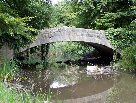 Templemore Abbeybridge · 1694 yd
 Templemore Church in ruinsChurch · 1750 yd
 College HillMountain / peak · 1.0 mi
 Castle (in Ruins)Bawn · 1.1 mi
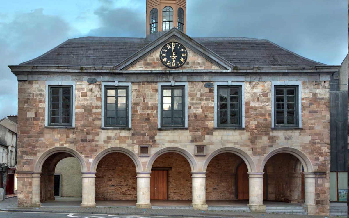 Enclosure in Lloydsborough (killea Par.)Enclosure · 1.5 mi
 Morris's GroveForest · 1.9 mi
 CastleCastle, unclassified · 2.3 mi
 Devil's Bit MountainMountain / peak · 3.2 mi
 Longford WoodForest · 4.4 mi
 Saint Mary's Church (Templemore)church/chapel · 1754 yd
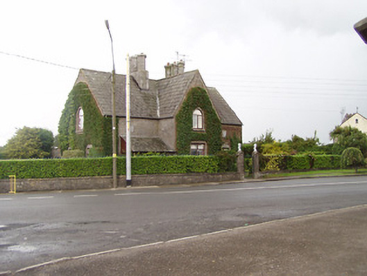 Church Viewhouse · 1.0 mi