
What is recorded here
Aerial photograph (GB90. BY.10) shows cropmark of a curvilinear enclosure defined by two fosses. The outer fosse is not concentric. Both fosses are indented on the north-western side suggesting the position of an entrance.
Compiled by: Geraldine Stout
Date of upload: 26 August 2011
The monument record does not grant public access. Check the route and ask the landowner before entering private land.
- What survives
- Recorded monument
Places near here
 Enclosure in Hampton DemesneEnclosure · 528 yd
 ‘Pigeon Ho.’Dovecote · 558 yd
 Barn WoodWood · 564 yd
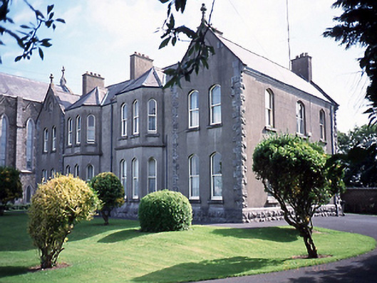 Catholic Church of Saint Peter and Saint Paulpresbytery/parochial/curate's house · 935 yd
 Corn MillWater mill, unclassified · 987 yd
 Balbriggan Tourist OfficeVisitor information · 1328 yd
 Ardgillan Castle and DemesneHeritage attraction · 1715 yd
 Castle (remains of)Castle, tower house · 1724 yd
 New PlantationWood · 1753 yd
 Balrothery Heritage CentreMuseum · 1.1 mi
 Balrothery TowerCastle · 1.1 mi
 Flat cemetery in DarcystownFlat cemetery · 1.1 mi
Other information
Photo: Credit not shown in the picture search · Rights wording not checked; contact us if this picture should be removed