What is recorded here
Cropmark (CASAP) shows bivallate circular enclosure (diam. c. 30m). Could be site mentioned by Power (1923, 190) as a 'perfect ring, enclosing c. 1/2acre'.
The above description is derived from the published 'Archaeological Inventory of County Cork. Volume 2: East and South Cork' (Dublin: Stationery Office, 1994). In certain instances the entries have been revised and updated in the light of recent research.
Date of upload/revision: 14 January 2009
The monument record does not grant public access. Check the route and ask the landowner before entering private land.
- What survives
- Recorded monument
Places near here
 IndicatedKiln, lime · 437 yd
 Site of Grave YardGraveyard · 600 yd
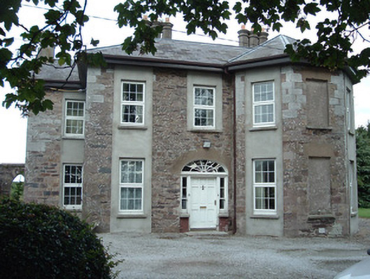 Green Hallhouse · 609 yd
 Icehouse in Kilshannig UpperIcehouse · 705 yd
 Tower (in Ruins)Bawn · 1426 yd
 Rathcormac massacremassacre · 1.5 mi
 Devonshire's HillMountain / peak · 2.8 mi
 Monananig WoodsWood · 3.4 mi
 Corrin WoodsWood · 3.5 mi
 Cappagh XViewpoint · 4.1 mi
 Graveyard in Killuntin NorthGraveyard · 4.8 mi
 Graveyard in FermoyGraveyard · 5.0 mi