
What is recorded here
In level pasture. Oval area (dims. 22m N-S; 26m E-W) defined by scarp (Wth 5.75m; H 0.45m). Fosse (basal Wth 4m; overall Wth 15.75m; D 0.45m) NW-S has been re-cut as drain S-NW. Scarp is lower at SSE where there may have been an entrance (Wth 5m). Interior is generally dish-shaped with a level centre.
Compiled by: Jean Farrelly
Date of upload: 26 August 2011
The monument record does not grant public access. Check the route and ask the landowner before entering private land.
- What survives
- Recorded monument
Places near here
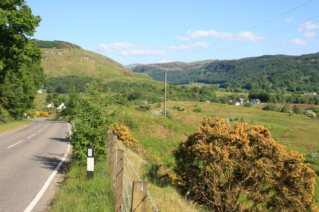 IndicatedEnclosure · 270 yd
 Enclosure in Kilmore UpperEnclosure · 507 yd
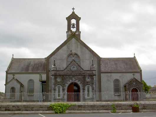 Catholic Church of the Assumptionchurch/chapel · 933 yd
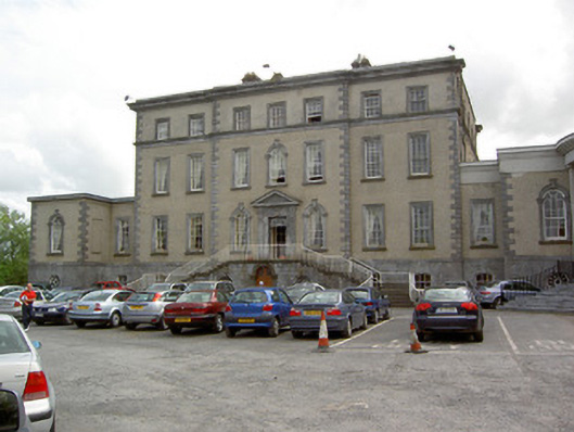 Dundrum Housecountry house · 1163 yd
 European ashEuropean ash · 1302 yd
 Woodcock GroveWood · 1713 yd
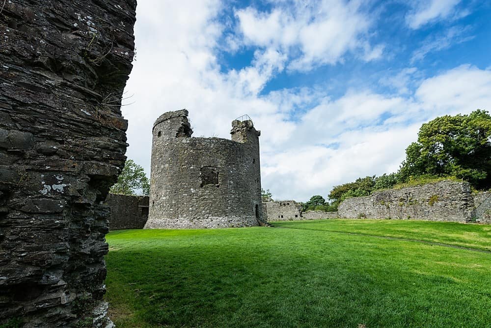 Site of CastleCastle, unclassified · 1737 yd
 Castle (in ruins)Castle, tower house · 1.6 mi
 Athassel PrioryHeritage attraction · 4.6 mi
 The RockViewpoint · 9.2 mi
 Enclosure in DundrumEnclosure · 1003 yd
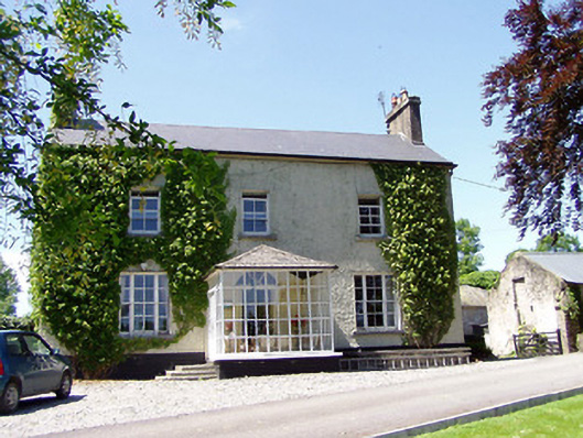 Ballywalter Househouse · 1175 yd
Other information
Photo: Credit not shown in the picture search · Rights wording not checked; contact us if this picture should be removed