What is recorded here
Situated on a gentle SE-facing slope of a wide valley. Circular enclosure (diam. c. 35m) known as the 'Raheen' and said to have been used as a burial ground. (O'Flanagan 1928, 132). Not visible at ground level.
From the National Monuments Service (Archaeological Survey of Ireland) record WI030-022
The monument record does not grant public access. Check the route and ask the landowner before entering private land.
- What survives
- Recorded monument
Places near here
Photo credits
- National Inventory of Architectural Heritage
- Daderot, Wikimedia Commons · CC0
- Sergio Kasusky at Flickr, Wikimedia Commons · CC BY 2.0
- 瑞丽江的河水, Wikimedia Commons · CC BY-SA 4.0
- Sarah777 at English Wikipedia, Wikimedia Commons · Public domain
- David Sands, Geograph · CC BY-SA 2.0
The Round BallEnclosure · 505 yd KilmacurraghGate lodge · 1217 ydChilean laurel1276 ydMexican Cypress1315 ydKilmacurraghCountry house · 1491 ydIndicatedFairy fort / earthen ringfort · 1.2 miViewing TowerHeritage attraction · 2.8 miParnell MonumentMemorial · 3.2 miWicklow 400Memorial · 3.2 miCastle in ruinsCastle, tower house · 3.5 miCarrick MountainMountain / peak · 4.6 miBrittas BayBeach / strand · 4.9 mi
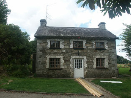 KilmacurraghGate lodge · 1217 yd
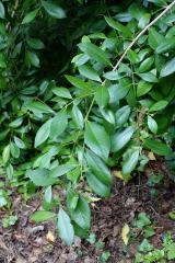 Chilean laurel1276 yd
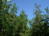 Mexican Cypress1315 yd
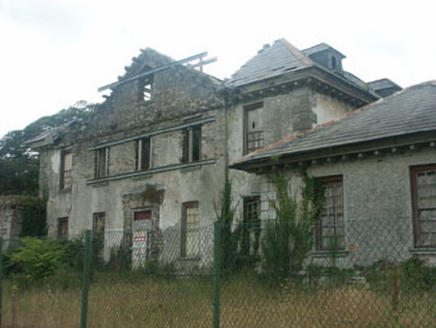 KilmacurraghCountry house · 1491 ydIndicatedFairy fort / earthen ringfort · 1.2 mi
 Viewing TowerHeritage attraction · 2.8 miParnell MonumentMemorial · 3.2 miWicklow 400Memorial · 3.2 miCastle in ruinsCastle, tower house · 3.5 mi
 Carrick MountainMountain / peak · 4.6 mi
 Brittas BayBeach / strand · 4.9 mi
More archaeology and monuments in County Wicklow · All of County Wicklow
What do you know about this place?