What is recorded here
Situated on a gentle N/E-facing slope in gently undulating terrain. Circular area (diam. 38m) defined by a bank (Wth 4-4.5m; int. H 1.2m; ext. H 2-2.2m) and a fosse (Wth 3-4m; H 2.2m below bank) from NE-W, with a counterscarp bank at the E (Wth 1.5m; H 1m). There is no trace of an entrance. The interior is raised slightly higher than the outer ground level.
From the National Monuments Service (Archaeological Survey of Ireland) record WI030-012
This remains an important historical record, but the official description says the monument is no longer visible or has been destroyed. The monument record does not grant public access. Check the route and ask the landowner before entering private land.
- What survives
- No visible remains or recorded as destroyed
Places near here
Enclosure in TullyluskEnclosure · 609 yd KilmacurraghGate lodge · 1484 ydThe Round BallEnclosure · 1.0 miLawson's Cypress1.1 miGinkgo1.1 miKilmacurraghCountry house · 1.2 miParnell MonumentMemorial · 2.2 miWicklow 400Memorial · 2.2 miViewing TowerHeritage attraction · 2.3 miCastle in ruinsCastle, tower house · 2.4 miBallinastrawMountain / peak · 2.7 miCarrick MountainMountain / peak · 3.8 mi
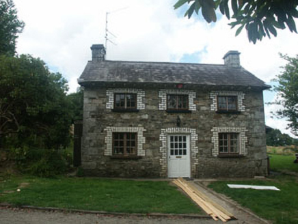 KilmacurraghGate lodge · 1484 ydThe Round BallEnclosure · 1.0 mi
 Lawson's Cypress1.1 mi
 Ginkgo1.1 mi
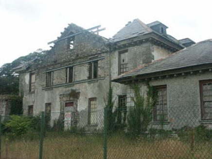 KilmacurraghCountry house · 1.2 miParnell MonumentMemorial · 2.2 miWicklow 400Memorial · 2.2 mi
 Viewing TowerHeritage attraction · 2.3 miCastle in ruinsCastle, tower house · 2.4 miBallinastrawMountain / peak · 2.7 mi
 Carrick MountainMountain / peak · 3.8 mi
Pictures: National Inventory of Architectural Heritage; jonleebotany, Wikimedia Commons · CC0; EecherplazGinkgo06.jpg : Cayambe derivative work: Ginkgotree ( talk ), Wikimedia Commons · CC BY-SA 3.0; 瑞丽江的河水, Wikimedia Commons · CC BY-SA 4.0; Sarah777 at English Wikipedia, Wikimedia Commons · Public domain
More archaeology and monuments in County Wicklow · All of County Wicklow
What do you know about this place?