
What is recorded here
Killurin hides a square moat beside its medieval church, visible only on old maps and local memory. The land swallowed the ditch and bank, but the shape survived in the names people still use.
Not visible at ground level. According to local information this was a square earthwork known locally as a 'moat'. Possibly associated with the nearby medieval church (OF024-022001-). Depicted on 1912 edition of OS 6-inch map as square shaped enclosure. Possible moated site.
The above description is derived from the published 'Archaeological Inventory of County Offaly' (Dublin: Stationery Office, 1997). In certain instances the entries have been revised and updated in the light of recent research.
Date of upload: 23 May 2011
The monument record does not grant public access. Check the route and ask the landowner before entering private land.
- What survives
- Recorded monument
Places near here
 Killurin Church (in Ruins)Church · 219 yd
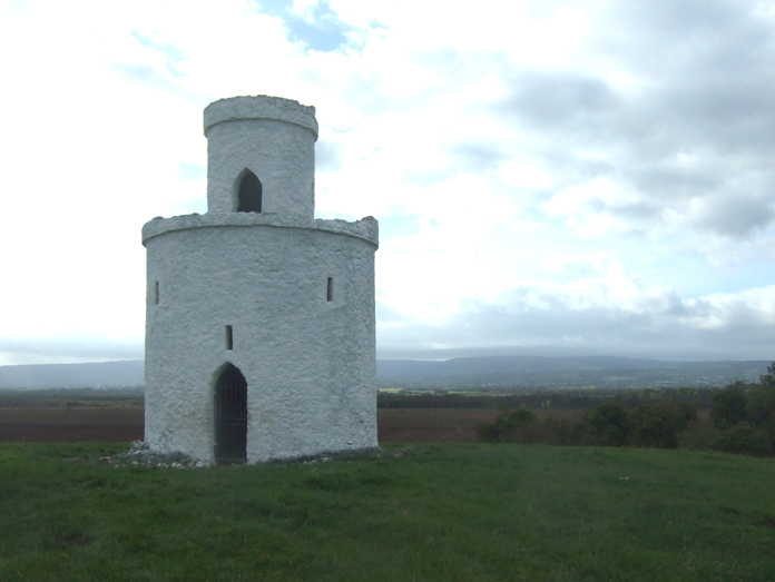 Enclosure in KillurinEnclosure · 569 yd
 Ross WoodWood · 1234 yd
 Mahon's WoodWood · 1445 yd
 Burial ground in HollimshillBurial ground · 1.4 mi
 Mullagh HillMountain / peak · 1.5 mi
 Mountpleasant Ho. in ruinsHouse, fortified house · 1.6 mi
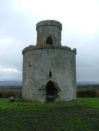 Mullagh Housefolly · 1.6 mi
 Sugar HillMountain / peak · 1.7 mi
 CastleCastle, unclassified · 1.8 mi
 Ardnagross WellSpring · 2.2 mi
 Graveyard in PallasGraveyard · 2.3 mi
Other information
Photo: Credit not shown in the picture search · Rights wording not checked; contact us if this picture should be removed