
What is recorded here
On wet poorly drained grassland atop low rock outcrop with good views in all directions, bogland immediately to W and dry land to N, S and E, stream between castle, 'Bog Castle' (TS054-004001-) and bog. On the aerial photograph (CUCAP APD 42, APG 55) taken in 1966 the castle is shown situated in the centre of an oval-shaped enclosure (approx. dims. 116m N-S; 80m E-W) defined by a wide water-filled moat (base Wth 2.5m; top Wth 4-6m; int. H ext. D 1m) and wide flat-topped outer bank (top Wth 6m; base Wth 8m; ext. H 0.4m) visible from S through W to NW only, linear earthworks (TS054-004002-) leading up to the enclosure on the E side of the castle. On the ground are the remains of a deep oval-shaped moat visible from S through W to N only elsewhere it appears to have been filled in but shows up quite clearly on the aerial photograph.
Compiled by: Jean Farrelly
Date of upload: 26 August 2011
The monument record does not grant public access. Check the route and ask the landowner before entering private land.
- What survives
- Recorded monument
Places near here
 Bog Castle (in Ruins)Castle, unclassified · 14 yd
 Enclosure in LanesparkEnclosure · 1.1 mi
 Derrynaflan TrailHeritage attraction · 1.1 mi
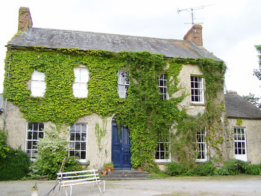 Cleragh Househouse · 1.2 mi
 Ladys WellHoly well · 1.2 mi
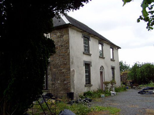 Hill View Househouse · 1.4 mi
 Gobban Saer's GraveArchaeological place · 1.5 mi
 Waterloo HillMountain / peak · 2.0 mi
 Site of CastleCastle, motte and bailey · 2.2 mi
 Slieveardagh Heritage CentreVisitor information · 2.2 mi
 Horse and JockeyVisitor information · 2.8 mi
 Sweet ChestnutSweet Chestnut · 3.4 mi
Other information
Photo: Credit not shown in the picture search · Rights wording not checked; contact us if this picture should be removed