What is recorded here
On the crest of a gentle ridge running N-S, in undulating terrain under pasture. An oval enclosure (diam. NW-SE 38.4m; E-W 35.6m) defined by quite a substantial round-topped earthen bank (int. H 0.8m; ext. H 1.4m; Wth at top 1.9m; overall Wth 4.8m) and a poorly defined outer fosse (Wth 2.8m; D 0.4m). The level interior is very wet. There is an entrance (Wth 2m) in the NW quadrant. The bank and fosse are quite denuded in the E and W quadrant. The S quadrant of the monument appears to have been cut across by a later ringwork (TS062-116---). It is likely that the ringwork was deliberately sited to avail of the pre-existing enclosure, probably utilising it as a bailey.
Compiled by: Jean Farrelly
Date of upload: 25 June 2013
The monument record does not grant public access. Check the route and ask the landowner before entering private land.
- What survives
- Recorded monument
Places near here
 Raheen fortCastle, ringwork and bailey · 49 yd
 RathavinFairy fort / earthen ringfort · 953 yd
 Carrigeen CastleCastle · 1137 yd
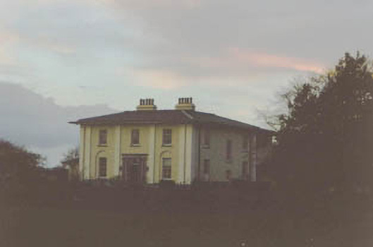 Coolmore Housecountry house · 1422 yd
 Site of ChurchChurch · 1454 yd
 Kilknockan HillMountain / peak · 1.1 mi
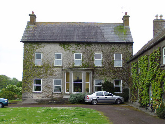 Rathcoole Castlehouse · 1.1 mi
 East GateMemorial · 2.1 mi
 European YewEuropean Yew · 2.1 mi
 Grove WoodForest · 3.2 mi
 Eagle HillMountain / peak · 4.4 mi
 Hore AbbeyHeritage attraction · 8.5 mi