What is recorded here
A circular enclosure (diam. c. 30m) identified on aerial photographs (ASIAP (51) 31-37) and visible on satellite imagery (Digitalglobe, viewed 4 October 2021). A field boundary, indicated on the 1st ed. OS 6-inch map and later revision but subsequently levelled and visible as a cropmark, runs NW-SE across the interior.
Compiled by: Jean Farrelly
Date of revised upload: 4 October 2021
The monument record does not grant public access. Check the route and ask the landowner before entering private land.
- What survives
- Recorded monument
Places near here
 Enclosure in KilknockEnclosure · 335 yd
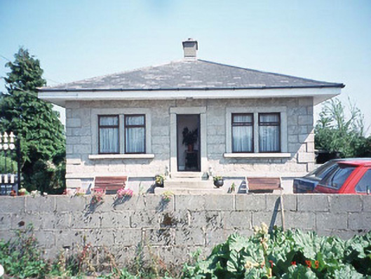 Kilknock Housegate lodge · 804 yd
 Burial GroundChurch · 851 yd
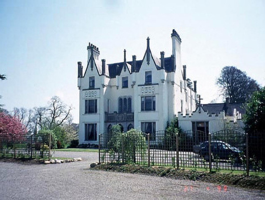 Ballykealey Housecountry house · 1.2 mi
 Ballynunnery Castle in ruinsCastle, unclassified · 1.7 mi
 Church (in ruins), GraveyardChurch · 1.8 mi
 Kilmurry Church (in ruins), GraveyardChurch · 1.9 mi
 Graiguenaspiddoge Castle in ruinsCastle, tower house · 2.2 mi
 Scots PineScots Pine · 3.8 mi
 Altamont Gardens MapVisitor information · 3.8 mi
 Altamont House and GardensHeritage attraction · 3.9 mi
 English hollyEnglish holly · 4.1 mi
Other information
Photo: Credit not shown in the picture search · Rights wording not checked; contact us if this picture should be removed