What is recorded here
In improved pasture, on an elevated area of a NW-facing slope. The location of the monument is defined as a level area of differential growth, being drier than the surrounding land. A levelled field boundary running NW-SE is traceable to the NE. It is depicted on the 1st (1840) ed. OS 6-inch map as a roughly circular enclosure (diam. c. 43m), however, by the 2nd (1905) ed. only the NE quadrant is indicated with a portion of bank adjoining an irregular raised area. It is not visible at ground level.
Compiled by: Jean Farrelly
Date of upload: 26 August 2011
The monument record does not grant public access. Check the route and ask the landowner before entering private land.
- What survives
- Recorded monument
Places near here
 Eagle HillMountain / peak · 761 yd
 IndicatedEnclosure · 804 yd
 Ecclesiastical enclosure in ShanakyleEcclesiastical enclosure · 867 yd
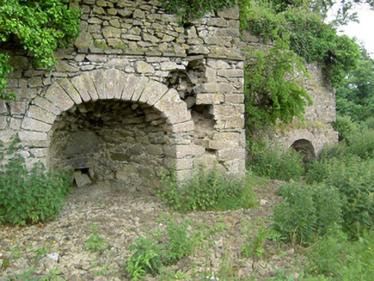 kilnkiln · 1355 yd
 CastleCastle, ringwork and bailey · 1432 yd
 ‘Magowry Church (in ruins)’Church · 1.1 mi
 Saint Johnstown CastleCastle · 1.6 mi
 Slieveardagh Heritage CentreVisitor information · 2.6 mi
 Knockuragh HillMountain / peak · 3.0 mi
 Fenane WoodForest · 5.0 mi
 Silver FirSilver Fir · 5.8 mi
 Gobban Saer's GraveArchaeological place · 5.8 mi