What is recorded here
Situated on the NE-facing slope of a hill in gently undulating terrain overlooking a valley. Indicated as a partial enclosure on the 1st ed. (1840) OS 6-inch map but not indicated on the latest ed. A roughly circular hollow (diam. 24m E-W) surrounded by raised ground roughly occupies the area of the site. A dip in the N portion may indicate the former entrance. Directly N of this possible entrance there is a smaller hollow (diam. c. 10m), possibly a small quarry-hole.
The above description is derived from 'The Archaeological Inventory of County Tipperary. Vol. 1 - North Tipperary' compiled by Jean Farrelly and Caimin O'Brien (Dublin: Stationery Office, 2002). In certain instances the entries have been revised and updated in the light of recent research.
Date of upload/revision: 22 September 2008
The monument record does not grant public access. Check the route and ask the landowner before entering private land.
- What survives
- Recorded monument
Places near here
 Kileroe Millmill (water) · 814 yd
 Killanna Church (Site of), Grave Yd.Church · 859 yd
 Killanna WellHoly well · 921 yd
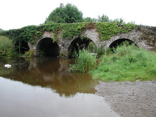 Annfield Bridgebridge · 1070 yd
 Bawn in AnnfieldBawn · 1215 yd
 Castle (in Ruins)Bawn · 1588 yd
 Pallas HillMountain / peak · 1733 yd
 KnockaneMountain / peak · 1.6 mi
 Kilvilcorris BogForest · 3.5 mi
 Cormackstown Heritage CentreMuseum · 4.9 mi
 Killavalla WoodForest · 7.6 mi
 Pallas Bridgebridge · 1637 yd