
What is recorded here
Situated on a level, low-lying landscape with a N-S section of the canalised Trimblestown or Athboy stream c. 100m to the E. This is described by S. McGlade who first reported it as a low-profile subcircular or D-shaped and grass-covered area (dims c. 50m NW-SE; c. 43m NE-SW) which may have been truncated by a mapped E-W field boundary at N, now removed. An aerial photograph by L. Swan (LS_AS_35BWN-0096_21) shows an oval feature (dims c. 10m E-W; c. 5m N-S) near the field bank at N with linear features extending from it to the SW and W. Other external features are visible on OSI images (2005-2012) and the enclosure is also visible on Google Earth (18/04/2009).
See the attached enhanced view from Google Earth (2009)
Compiled by: Michael Moore
Date of upload: 7 October 2022
The monument record does not grant public access. Check the route and ask the landowner before entering private land.
- What survives
- Recorded monument
Places near here
 Enclosure in Gormanstown (navan Upper By.)Enclosure · 594 yd
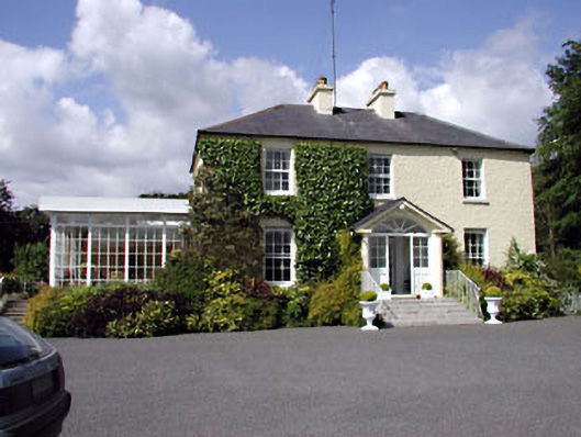 Clonylogan Housefarm house · 1521 yd
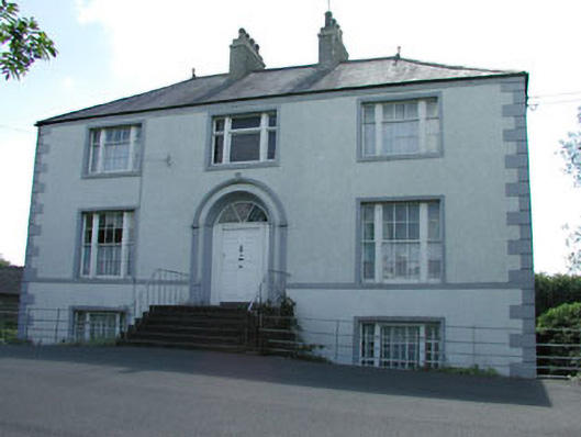 presbytery/parochial/curate's housepresbytery/parochial/curate's house · 1.2 mi
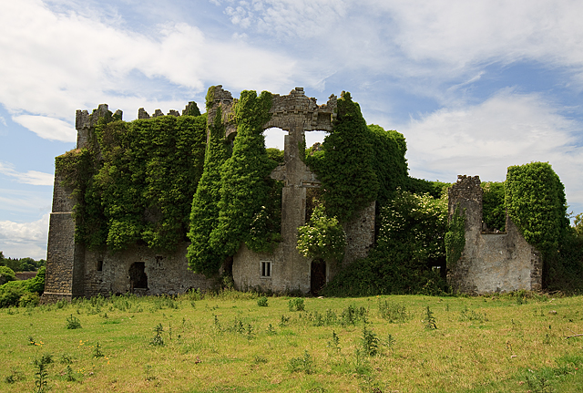 CastleCastle, tower house · 1.2 mi
 IndicatedCastle, motte · 1.2 mi
 Grave YardGraveyard · 1.2 mi
 FraineMountain / peak · 3.2 mi
 JamestownMountain / peak · 5.2 mi
 European BeechEuropean Beech · 6.5 mi
 Common LimeCommon Lime · 6.6 mi
 The New Line RoadMemorial · 6.6 mi
 Croppies' GraveMemorial · 11 mi
Other information
Photo: Credit not shown in the picture search · Rights wording not checked; contact us if this picture should be removed