What is recorded here
In area of level ground, which beyond site slopes gently down in all directions. Oval area (70m E-W; 50m N-S) enclosed by earthen bank (max: int. H 0.7m; ext. H 0.8m) with external fosse (D 0.5m); stone-faced on S side and higher than elsewhere; incorporated into field boundary system on N side. Break in bank at roughly NW, E, SE and W. Limestone quarry and large spread of field clearance stones in area of fosse to SE. Interior level. Based on depiction as roughly rectangular enclosure on 1842 OS 6-inch map, site included in Barry's (1981, 83, no. 44) list of moated sites for County Cork. Claidh Dubh (11972) c. 90m to NNW; possible early ecclesiastical enclosure (13899) c. 250m to SE.
The above description is derived from the published 'Archaeological Inventory of County Cork. Volume 4: North Cork' (Dublin: Stationery Office, 2000). In certain instances the entries have been revised and updated in the light of recent research.
Date of upload/revision: 14 January 2009
The monument record does not grant public access. Check the route and ask the landowner before entering private land.
- What survives
- Recorded monument
Places near here
 IndicatedEcclesiastical enclosure · 333 yd
 Church (Site of)Church · 365 yd
 gate lodgegate lodge · 884 yd
 BallysharaCountry house · 1136 yd
 Shanagh Castle (Site of)Castle, unclassified · 1.3 mi
 CastlepookCastle · 2.0 mi
 Horse Field WoodForest · 2.4 mi
 North Meadow WoodForest · 2.5 mi
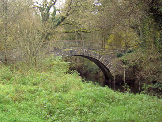 Doneraile Courtfoot bridge · 2.7 mi
 Doneraile HouseHeritage attraction · 3.0 mi
 Smith's WellSpring · 3.0 mi
 Coolfree MountainMountain / peak · 4.3 mi