What is recorded here
No credible facts exist for Enclosure in Kilbeg (longford By.).
On a S-facing slope in grassland. Marked on the 1838 edition of the OS 6-inch map as a rectangular enclosure (c. 38m NW-SE; c. 34m NE-SW). It is now delimited by a short section (L 15.15m) of an earthen bank (Wth 1.6m; int. H 0.2m; ext. H 0.4m) along the S side and a degraded tree-lined scarp along the N side. An external irregular band of nettles on this side may mark the line of a fosse. Elsewhere modern field banks form the enclosing element. According to the landowner, this was the site of a ‘fort’.
Compiled by: Galway Archaeological Survey, UCG
Date of upload: 1 April 2019
The monument record does not grant public access. Check the route and ask the landowner before entering private land.
- What survives
- Recorded monument
Places near here
 Holy WellHoly well · 1466 yd
 CastleCastle, unclassified · 1.0 mi
 Fairy fort / earthen ringfort in CappanaghtanFairy fort / earthen ringfort · 1.2 mi
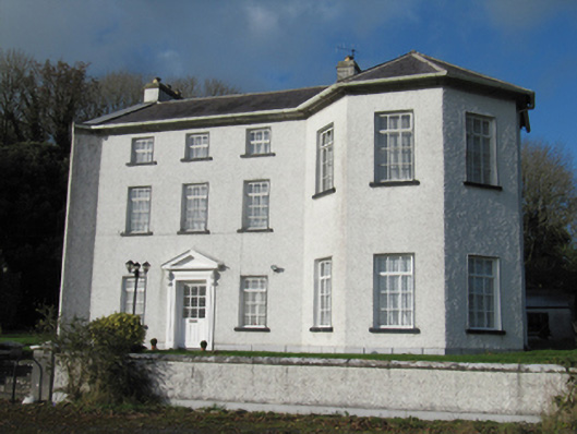 Rathmore Housecountry house · 1.3 mi
 AbbeyReligious house, Augustinian canons · 1.4 mi
 Knockaunnageeragh Castle in ruinsCastle, unclassified · 2.6 mi
 Quarryhill WoodWood · 4.1 mi
 Bog WoodForest · 4.5 mi
 The bloody HollowHeritage attraction · 7.1 mi
 Battle of AughrimMajor battlefield · 7.1 mi
 Battle of Aughrim Interpretative CentreMuseum · 7.6 mi
 Urraghry HillMountain / peak · 7.9 mi