What is recorded here
Kilbarrahan holds a shallow earthen arc on a gentle south-facing slope, marked locally as a burial ground rather than a grand monument. The circle was levelled and ploughed in the past, reducing the church and grave to a low curve barely half a metre high. What remains is small enough to walk across in moments, yet it preserves the shape of a place where people once set the dead aside and lived around them.
This enclosure was referred to in the 'Archaeological Inventory of County Cork - vol. 4 North Cork' (2000, 481) under the entry (no. 14110) for a burial ground (CO032-158002-). The reference to the enclosure reads: 'According to Bowman (1934, 674), 'early church site' (14488) and burial ground 'surrounded by a circular earthen fence which was levelled and the field including the Church site was ploughed'. In pasture, on gentle S-facing slope. Low earthen mound (min. H 0.38m; max. H 0.8m) curves to form arc SSW-NNW (C 9m E-W); no other trace of burial ground. Known locally as a burial ground.'
The above description is derived from the published 'Archaeological Inventory of County Cork. Volume 4: North Cork' (Dublin: Stationery Office, 2000). In certain instances the entries have been revised and updated in the light of recent research.
Date of upload/revision: 14 January 2009
The monument record does not grant public access. Check the route and ask the landowner before entering private land.
- What survives
- Recorded monument
Places near here
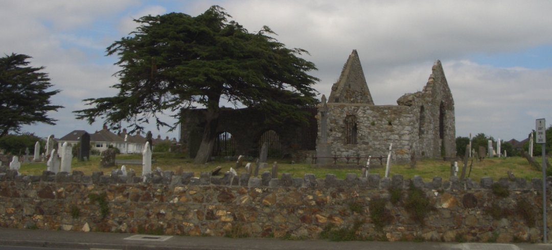 Burial ground in KilbarrahanBurial ground · 1 yd
 Fulacht fia in CloonteensFulacht fia · 785 yd
 IndicatedHouse, vernacular house · 902 yd
 Roskeen Housecountry house · 966 yd
 Gurteenkreen Castle (Site of)Castle, unclassified · 1.2 mi
 Lohort CastleCastle, tower house · 1.4 mi
 Graveyard in Ballygiblin (duhallow By.)Graveyard · 2.1 mi
 European YewEuropean Yew · 2.6 mi
 Burial ground in AssolasBurial ground · 2.7 mi
 Mount Hillary - Knightfield LoopWalking route · 2.8 mi
 Mount HillaryMountain / peak · 3.0 mi
 St Fursey's WellSpring · 3.0 mi